Sam Khok geodata
Sam Khok (Pathum Thani) is a seat of a second-order administrative division; located in Thailand in Asia/Bangkok (GMT+7) time zone. In our database, there are 331 cities with bigger population. Compared to other cities in Thailand, 63.6% of cities are located further ↑North; 57.1% of cities are located further →East and 96.7% of cities have higher elevation than Sam Khok. Note1


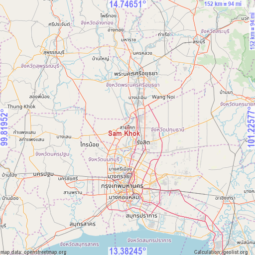
Sam Khok GPS coordinates[2]
14° 3' 55.8" North, 100° 31' 21.504" East
| Map corner | latitude | longitude |
|---|---|---|
| Upper-left | 14.74651°, | 99.81952° |
| Center: | 14.0655°, | 100.52264° |
| Lower-right: | 13.38245°, | 101.22577° |
| Map W x H: | 151.7×151.7 km | = 94.3×94.3mi |
| max Lat: | 20.43353° ⇑63.6% North |
| Sam Khok: | 14.0655° |
| min Lat: | ⇓36.4% South 5.77434° |
| min Long | Sam Khok | max Long |
| 97.93288° | 100.52264° | 105.49506° |
| W 42.9%⇐ | ⇒57.1% E |
Elevation
Elevation of Sam Khok is 6 m = 20 ft, and this is 119.5 m = 392 ft below average elevation for this country.
| Max E: |
1011 m = 3317 ft | 96.7% |
| Avg. | 125.5 m = 412 ft | |
| Sam Khok | 6 m = 20 ft | |
Min E: |
1 m = 3 ft | 3.3% |
See also: Thailand elevation on elevation.city.
Geographical zone
Sam Khok is located in North Torrid zone (between Equator and Tropic of Cancer). Distance of this Northern Tropic circle is 1042 km =647.5 mi to North.| Distance of | km | miles | from Sam Khok |
|---|---|---|---|
| North Pole | 8443.1 | 5246.3 | to North |
| Arctic Circle | 5837.2 | 3627.1 | to North |
| Tropic Cancer | 1042 | 647.5 | to North |
| Equator | 1563.9 | 971.8 | to South |


Nearby cities:
15 places around Sam Khok: (largest is in red/bold)
• Ban Bang Kadi Pathum Thani
7.9 km =4.9 mi,  158°
158°
• Bang Bua Thong
19.6 km =12.2 mi,  212°
212°
• Bang Pa-in
18.9 km =11.7 mi,  17°
17°
• Chatuchak
26.6 km =16.5 mi,  171°
171°
• Don Mueang
18.4 km =11.4 mi, 156°
• Khlong Luang
13.3 km =8.3 mi,  90°
90°
• Lat Bua Luang
25.7 km =16 mi,  295°
295°
• Lat Lum Kaeo
13.1 km =8.1 mi,  256°
256°
• Mueang Nonthaburi
22.8 km =14.2 mi,  182°
182°
• Pak Kret
17.1 km =10.6 mi,  188°
188°
• Pathum Thani
5.8 km =3.6 mi, 171°
• Sai Mai
20.9 km =13 mi,  140°
140°
• Sai Noi
24.7 km =15.3 mi,  247°
247°
• Thanyaburi
23.4 km =14.5 mi,  102°
102°
• Wang Noi
27.5 km =17.1 mi,  49°
49°
Sources, notices
• [Note1] Compared only with cities in Thailand existing in our database
• [Src1] Map data: © OpenStreetMap contributors (CC-BY-SA)
• [Src2] Other city data from geonames.org with taken over terms of usage.
• [Src3] Geographical zone / Annual Mean Temperature by Robert A. Rohde @ Wikipedia
