Na Chaluai geodata
Na Chaluai (Changwat Ubon Ratchathani) is a seat of a second-order administrative division; located in Thailand in Asia/Bangkok (GMT+7) time zone. In our database, there are 331 cities with bigger population. Compared to other cities in Thailand, 59.5% of cities are located further ↑North; 99.4% of cities are located further ←West and 80.6% of cities have lower elevation than Na Chaluai. Note1


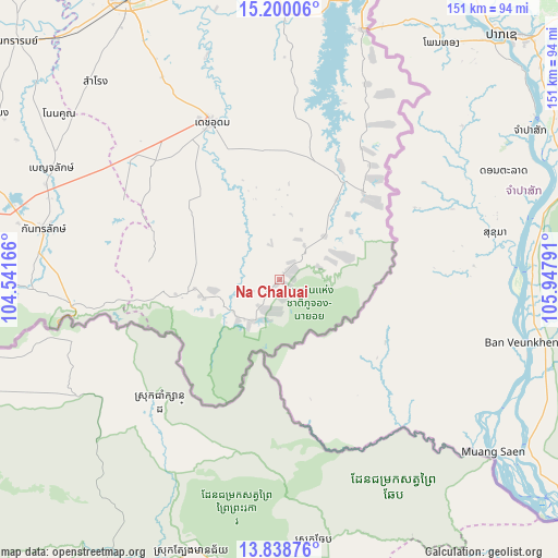
Na Chaluai GPS coordinates[2]
14° 31' 13.656" North, 105° 14' 41.208" East
| Map corner | latitude | longitude |
|---|---|---|
| Upper-left | 15.20006°, | 104.54166° |
| Center: | 14.52046°, | 105.24478° |
| Lower-right: | 13.83876°, | 105.94791° |
| Map W x H: | 151.4×151.4 km | = 94.1×94.1mi |
| max Lat: | 20.43353° ⇑59.5% North |
| Na Chaluai: | 14.52046° |
| min Lat: | ⇓40.5% South 5.77434° |
| min Long | Na Chaluai | max Long |
| 97.93288° | 105.24478° | 105.49506° |
| W 99.4%⇐ | ⇒0.59999999999999% E |
Elevation
Elevation of Na Chaluai is 198 m = 650 ft, and this is 72.5 m = 238 ft above average elevation for this country.
| Max E: |
1011 m = 3317 ft | 19.4% |
| Na Chaluai | 198 m 650 ft | |
| Avg. | 125.5 m = 412 ft | |
Min E: |
1 m = 3 ft | 80.6% |
See also: Thailand elevation on elevation.city.
Geographical zone
Na Chaluai is located in North Torrid zone (between Equator and Tropic of Cancer). Distance of this Northern Tropic circle is 991.4 km =616 mi to North.| Distance of | km | miles | from Na Chaluai |
|---|---|---|---|
| North Pole | 8392.5 | 5214.9 | to North |
| Arctic Circle | 5786.7 | 3595.7 | to North |
| Tropic Cancer | 991.4 | 616 | to North |
| Equator | 1614.5 | 1003.2 | to South |


Nearby cities:
15 places around Na Chaluai: (largest is in red/bold)
• Benchalak
69 km =42.9 mi,  296°
296°
• Buntharik
31.8 km =19.8 mi,  34°
34°
• Det Udom
46.5 km =28.9 mi,  337°
337°
• Kantharalak
65.4 km =40.6 mi,  281°
281°
• Na Yia
63.6 km =39.5 mi, 341°
• Nam Khun
35.2 km =21.9 mi, 281°
• Non Kho
71.2 km =44.2 mi,  308°
308°
• Phibun Mangsahan
80.5 km =50 mi,  358°
358°
• Samrong
73.4 km =45.6 mi,  317°
317°
• Sawang Wirawong
81.8 km =50.8 mi,  348°
348°
• Si Rattana
88.8 km =55.2 mi,  289°
289°
• Siao
69 km =42.9 mi, 296°
• Sirindhorn
77.3 km =48 mi,  11°
11°
• Thung Si Udom
43.2 km =26.8 mi, 303°
• Warin Chamrap
85.3 km =53 mi,  331°
331°
Sources, notices
• [Note1] Compared only with cities in Thailand existing in our database
• [Src1] Map data: © OpenStreetMap contributors (CC-BY-SA)
• [Src2] Other city data from geonames.org with taken over terms of usage.
• [Src3] Geographical zone / Annual Mean Temperature by Robert A. Rohde @ Wikipedia
