Serdar geodata
Serdar (Balkan) is a populated place; located in Turkmenistan in Asia/Ashgabat (GMT+5) time zone. With population of 12,000 people, there are 27 cities with bigger population in this country. Compared to other cities in Turkmenistan, 53.3% of cities are located further ↓South; 86.7% of cities are located further →East and 66.7% of cities have higher elevation than Serdar. Note1


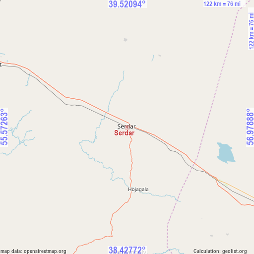
Serdar GPS coordinates[2]
38° 58' 35.184" North, 56° 16' 32.7" East
| Map corner | latitude | longitude |
|---|---|---|
| Upper-left | 39.52094°, | 55.57263° |
| Center: | 38.97644°, | 56.27575° |
| Lower-right: | 38.42772°, | 56.97888° |
| Map W x H: | 121.6×121.6 km | = 75.6×75.6mi |
| max Lat: | 42.32773° ⇑46.7% North |
| Serdar: | 38.97644° |
| min Lat: | ⇓53.3% South 35.27992° |
| min Long | Serdar | max Long |
| 52.95517° | 56.27575° | 66.04656° |
| W 13.3%⇐ | ⇒86.7% E |
Elevation
Elevation of Serdar is 103 m = 338 ft, and this is 93.4 m = 306 ft below average elevation for this country.
| Max E: |
649 m = 2129 ft | 66.7% |
| Avg. | 196.4 m = 644 ft | |
| Serdar | 103 m = 338 ft | |
Min E: |
5 m = 16 ft | 33.3% |
See also: Turkmenistan elevation on elevation.city.
Geographical zone
Serdar is located in North temperate zone (between Tropic of Cancer and the Arctic Circle). Distance of this Northern Tropic circle is 1727.9 km =1073.7 mi to South.| Distance of | km | miles | from Serdar |
|---|---|---|---|
| North Pole | 5673.3 | 3525.2 | to North |
| Arctic Circle | 3067.4 | 1906 | to North |
| Tropic Cancer | 1727.9 | 1073.7 | to South |
| Equator | 4333.8 | 2692.9 | to South |


Nearby cities:
11 places around Serdar: (largest is in red/bold)
• Abadan
196.1 km =121.9 mi,  121°
121°
• Annau
229.6 km =142.7 mi, 121°
• Arçabil
197.2 km =122.5 mi,  126°
126°
• Ashgabat
216.1 km =134.3 mi, 121°
• Baharly
116.9 km =72.6 mi, 120°
• Balkanabat
174.8 km =108.6 mi,  289°
289°
• Bereket
72.1 km =44.8 mi, 294°
• Gumdag
147.7 km =91.8 mi,  279°
279°
• Kaka
343.4 km =213.4 mi, 121°
• Magtymguly
59.9 km =37.2 mi,  179°
179°
• Türkmenbaşy
307.7 km =191.2 mi, 292°
Sources, notices
• [Note1] Compared only with cities in Turkmenistan existing in our database
• [Src1] Map data: © OpenStreetMap contributors (CC-BY-SA)
• [Src2] Other city data from geonames.org with taken over terms of usage.
• [Src3] Geographical zone / Annual Mean Temperature by Robert A. Rohde @ Wikipedia
