Kaka geodata
Kaka (Ahal) is a populated place; located in Turkmenistan in Asia/Ashgabat (GMT+5) time zone. With population of 18,545 people, there are 20 cities with bigger population in this country. Compared to other cities in Turkmenistan, 93.3% of cities are located further ↑North; 56.7% of cities are located further →East and 86.7% of cities have lower elevation than Kaka. Note1


Kaka GPS coordinates[2]
37° 20' 53.556" North, 59° 36' 51.516" East
| Map corner | latitude | longitude |
|---|---|---|
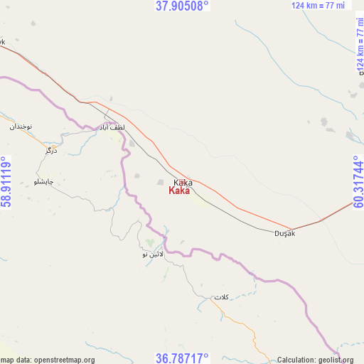
| Upper-left | 37.90508°, | 58.91119° |
| Center: | 37.34821°, | 59.61431° |
| Lower-right: | 36.78717°, | 60.31744° |
| Map W x H: | 124.3×124.3 km | = 77.2×77.2mi |
| max Lat: | 42.32773° ⇑93.3% North |
| Kaka: | 37.34821° |
| min Lat: | ⇓6.7% South 35.27992° |
| min Long | Kaka | max Long |
| 52.95517° | 59.61431° | 66.04656° |
| W 43.3%⇐ | ⇒56.7% E |
Elevation
Elevation of Kaka is 290 m = 951 ft, and this is 93.6 m = 307 ft above average elevation for this country.
| Max E: |
649 m = 2129 ft | 13.3% |
| Kaka | 290 m 951 ft | |
| Avg. | 196.4 m = 644 ft | |
Min E: |
5 m = 16 ft | 86.7% |
See also: Turkmenistan elevation on elevation.city.
Geographical zone
Kaka is located in North temperate zone (between Tropic of Cancer and the Arctic Circle). Distance of this Northern Tropic circle is 1546.8 km =961.1 mi to South.| Distance of | km | miles | from Kaka |
|---|---|---|---|
| North Pole | 5854.3 | 3637.7 | to North |
| Arctic Circle | 3248.4 | 2018.5 | to North |
| Tropic Cancer | 1546.8 | 961.1 | to South |
| Equator | 4152.7 | 2580.4 | to South |


Nearby cities:
14 places around Kaka: (largest is in red/bold)
• Abadan
147.3 km =91.5 mi,  302°
302°
• Annau
113.8 km =70.7 mi, 301°
• Arçabil
148.3 km =92.1 mi, 295°
• Ashgabat
127.4 km =79.2 mi, 301°
• Baharly
226.5 km =140.7 mi, 302°
• Bayramaly
227.2 km =141.2 mi,  82°
82°
• Magtymguly
316.6 km =196.7 mi,  292°
292°
• Mary
197.4 km =122.7 mi, 82°
• Murgab
208.8 km =129.7 mi,  85°
85°
• Serdar
343.4 km =213.4 mi, 301°
• Serhetabat
335.7 km =208.6 mi,  133°
133°
• Seydi
372.6 km =231.5 mi,  50°
50°
• Tejen
78.8 km =49 mi, 87°
• Yolöten
242.8 km =150.9 mi, 91°
Sources, notices
• [Note1] Compared only with cities in Turkmenistan existing in our database
• [Src1] Map data: © OpenStreetMap contributors (CC-BY-SA)
• [Src2] Other city data from geonames.org with taken over terms of usage.
• [Src3] Geographical zone / Annual Mean Temperature by Robert A. Rohde @ Wikipedia
