Abadan geodata
Abadan (Ahal) is a populated place; located in Turkmenistan in Asia/Ashgabat (GMT+5) time zone. With population of 39,481 people, there are 8 cities with bigger population in this country. Compared to other cities in Turkmenistan, 60% of cities are located further ↑North; 73.3% of cities are located further →East and 66.7% of cities have lower elevation than Abadan. Note1


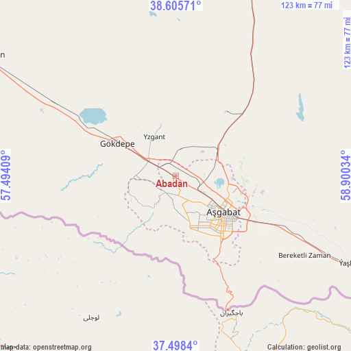
Abadan GPS coordinates[2]
38° 3' 14.94" North, 58° 11' 49.956" East
| Map corner | latitude | longitude |
|---|---|---|
| Upper-left | 38.60571°, | 57.49409° |
| Center: | 38.05415°, | 58.19721° |
| Lower-right: | 37.4984°, | 58.90034° |
| Map W x H: | 123.1×123.1 km | = 76.5×76.5mi |
| max Lat: | 42.32773° ⇑60% North |
| Abadan: | 38.05415° |
| min Lat: | ⇓40% South 35.27992° |
| min Long | Abadan | max Long |
| 52.95517° | 58.19721° | 66.04656° |
| W 26.7%⇐ | ⇒73.3% E |
Elevation
Elevation of Abadan is 228 m = 748 ft, and this is 31.6 m = 104 ft above average elevation for this country.
| Max E: |
649 m = 2129 ft | 33.3% |
| Abadan | 228 m 748 ft | |
| Avg. | 196.4 m = 644 ft | |
Min E: |
5 m = 16 ft | 66.7% |
See also: Turkmenistan elevation on elevation.city.
Geographical zone
Abadan is located in North temperate zone (between Tropic of Cancer and the Arctic Circle). Distance of this Northern Tropic circle is 1625.3 km =1009.9 mi to South.| Distance of | km | miles | from Abadan |
|---|---|---|---|
| North Pole | 5775.8 | 3588.9 | to North |
| Arctic Circle | 3169.9 | 1969.7 | to North |
| Tropic Cancer | 1625.3 | 1009.9 | to South |
| Equator | 4231.2 | 2629.1 | to South |


Nearby cities:
14 places around Abadan: (largest is in red/bold)
• Annau
33.5 km =20.8 mi,  123°
123°
• Arçabil
18.1 km =11.2 mi,  211°
211°
• Ashgabat
20 km =12.4 mi,  125°
125°
• Baharly
79.2 km =49.2 mi,  302°
302°
• Bayramaly
351.9 km =218.7 mi,  97°
97°
• Bereket
267.9 km =166.5 mi, 299°
• Gumdag
338.4 km =210.3 mi,  292°
292°
• Kaka
147.3 km =91.5 mi, 122°
• Magtymguly
172.7 km =107.3 mi,  284°
284°
• Mary
323.1 km =200.8 mi, 99°
• Murgab
337.4 km =209.7 mi, 100°
• Serdar
196.1 km =121.9 mi, 301°
• Tagta
425.9 km =264.6 mi,  20°
20°
• Tejen
216.3 km =134.4 mi,  110°
110°
Sources, notices
• [Note1] Compared only with cities in Turkmenistan existing in our database
• [Src1] Map data: © OpenStreetMap contributors (CC-BY-SA)
• [Src2] Other city data from geonames.org with taken over terms of usage.
• [Src3] Geographical zone / Annual Mean Temperature by Robert A. Rohde @ Wikipedia
