Karataş geodata
Karataş (Adana) is a populated place; located in Turkey in Europe/Istanbul (GMT+3) time zone. With population of 9,221 people, there are 527 cities with bigger population in this country. Compared to other cities in Turkey, 96.5% of cities are located further ↑North; 52.7% of cities are located further →East and 97.8% of cities have higher elevation than Karataş. Note1


Karataş GPS coordinates[2]
36° 34' 55.344" North, 35° 22' 12.504" East
| Map corner | latitude | longitude |
|---|---|---|
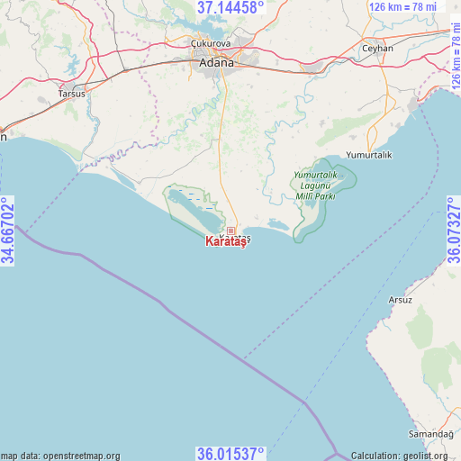
| Upper-left | 37.14458°, | 34.66702° |
| Center: | 36.58204°, | 35.37014° |
| Lower-right: | 36.01537°, | 36.07327° |
| Map W x H: | 125.6×125.6 km | = 78×78mi |
| max Lat: | 42.02683° ⇑96.5% North |
| Karataş: | 36.58204° |
| min Lat: | ⇓3.5% South 35.9025° |
| min Long | Karataş | max Long |
| 25.90902° | 35.37014° | 44.60099° |
| W 47.3%⇐ | ⇒52.7% E |
Elevation
Elevation of Karataş is 10 m = 33 ft, and this is 707.4 m = 2321 ft below average elevation for this country.
| Max E: |
2682 m = 8799 ft | 97.8% |
| Avg. | 717.4 m = 2354 ft | |
| Karataş | 10 m = 33 ft | |
Min E: |
0 m = 0 ft | 2.2% |
See also: Turkey elevation on elevation.city.
Geographical zone
Karataş is located in North temperate zone (between Tropic of Cancer and the Arctic Circle). Distance of this Northern Tropic circle is 1461.6 km =908.2 mi to South.| Distance of | km | miles | from Karataş |
|---|---|---|---|
| North Pole | 5939.5 | 3690.6 | to North |
| Arctic Circle | 3333.6 | 2071.4 | to North |
| Tropic Cancer | 1461.6 | 908.2 | to South |
| Equator | 4067.5 | 2527.4 | to South |


Nearby cities:
15 places around Karataş: (largest is in red/bold)
• Adana
46.8 km =29.1 mi,  355°
355°
• Arsuz
50.1 km =31.1 mi,  112°
112°
• Ceyhan
63.3 km =39.3 mi,  38°
38°
• Doğankent
29.3 km =18.2 mi, 355°
• Kazanlı
60.5 km =37.6 mi,  295°
295°
• Mersin
70 km =43.5 mi,  291°
291°
• Sarıçam
64.5 km =40.1 mi,  10°
10°
• Seyhan
45.4 km =28.2 mi,  352°
352°
• Tarsus
56.6 km =35.2 mi,  311°
311°
• Tuzla
28.5 km =17.7 mi, 297°
• Yakapınar
48.9 km =30.4 mi,  27°
27°
• Yenice
52.3 km =32.5 mi,  327°
327°
• Yumurtalık
42.8 km =26.6 mi,  60°
60°
• Yüreğir
43.6 km =27.1 mi, 358°
• İskenderun
71.7 km =44.6 mi,  89°
89°
Sources, notices
• [Note1] Compared only with cities in Turkey existing in our database
• [Src1] Map data: © OpenStreetMap contributors (CC-BY-SA)
• [Src2] Other city data from geonames.org with taken over terms of usage.
• [Src3] Geographical zone / Annual Mean Temperature by Robert A. Rohde @ Wikipedia
