Araban geodata
Araban (Gaziantep) is a seat of a second-order administrative division; located in Turkey in Europe/Istanbul (GMT+3) time zone. With population of 11,128 people, there are 479 cities with bigger population in this country. Compared to other cities in Turkey, 76.8% of cities are located further ↑North; 59.8% of cities are located further ←West and 58.6% of cities have higher elevation than Araban. Note1


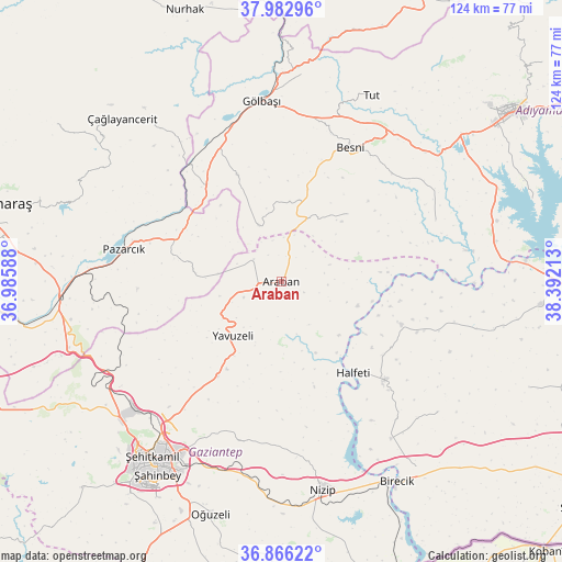
Araban GPS coordinates[2]
37° 25' 36.012" North, 37° 41' 20.4" East
| Map corner | latitude | longitude |
|---|---|---|
| Upper-left | 37.98296°, | 36.98588° |
| Center: | 37.42667°, | 37.689° |
| Lower-right: | 36.86622°, | 38.39213° |
| Map W x H: | 124.2×124.2 km | = 77.2×77.2mi |
| max Lat: | 42.02683° ⇑76.8% North |
| Araban: | 37.42667° |
| min Lat: | ⇓23.2% South 35.9025° |
| min Long | Araban | max Long |
| 25.90902° | 37.689° | 44.60099° |
| W 59.8%⇐ | ⇒40.2% E |
Elevation
Elevation of Araban is 527 m = 1729 ft, and this is 190.4 m = 625 ft below average elevation for this country.
| Max E: |
2682 m = 8799 ft | 58.6% |
| Avg. | 717.4 m = 2354 ft | |
| Araban | 527 m = 1729 ft | |
Min E: |
0 m = 0 ft | 41.4% |
See also: Turkey elevation on elevation.city.
Geographical zone
Araban is located in North temperate zone (between Tropic of Cancer and the Arctic Circle). Distance of this Northern Tropic circle is 1555.5 km =966.5 mi to South.| Distance of | km | miles | from Araban |
|---|---|---|---|
| North Pole | 5845.6 | 3632.3 | to North |
| Arctic Circle | 3239.7 | 2013.1 | to North |
| Tropic Cancer | 1555.5 | 966.5 | to South |
| Equator | 4161.5 | 2585.8 | to South |


Nearby cities:
15 places around Araban: (largest is in red/bold)
• Belören
25.3 km =15.7 mi,  337°
337°
• Besni
33.3 km =20.7 mi,  27°
27°
• Böğürtlen
45.2 km =28.1 mi,  129°
129°
• Gölbaşı
40 km =24.9 mi,  353°
353°
• Halfeti
25.7 km =16 mi,  141°
141°
• Harmanlı
46 km =28.6 mi,  6°
6°
• Keysun
20.9 km =13 mi,  44°
44°
• Kızılin
36.7 km =22.8 mi,  68°
68°
• Nizip
47.3 km =29.4 mi,  168°
168°
• Pazarcık
35 km =21.7 mi,  281°
281°
• Suvarlı
13.4 km =8.3 mi, 338°
• Tut
45.6 km =28.3 mi, 26°
• Yavuzeli
16.1 km =10 mi,  221°
221°
• Şambayat
42.6 km =26.5 mi,  47°
47°
• Şehitkamil
47.3 km =29.4 mi, 215°
Sources, notices
• [Note1] Compared only with cities in Turkey existing in our database
• [Src1] Map data: © OpenStreetMap contributors (CC-BY-SA)
• [Src2] Other city data from geonames.org with taken over terms of usage.
• [Src3] Geographical zone / Annual Mean Temperature by Robert A. Rohde @ Wikipedia
