Mabama geodata
Mabama (Tabora) is a populated place; located in Tanzania in Africa/Dar_es_Salaam (GMT+3) time zone. With population of 15,320 people, there are 182 cities with bigger population in this country. Compared to other cities in Tanzania, 51.4% of cities are located further ↓South; 84.3% of cities are located further →East and 51% of cities have lower elevation than Mabama. Note1


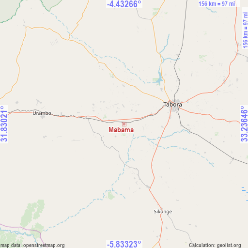
Mabama GPS coordinates[2]
5° 7' 59.988" South, 32° 31' 59.988" East
| Map corner | latitude | longitude |
|---|---|---|
| Upper-left | -4.43266°, | 31.83021° |
| Center: | -5.13333°, | 32.53333° |
| Lower-right: | -5.83323°, | 33.23646° |
| Map W x H: | 155.7×155.7 km | = 96.7×96.7mi |
| max Lat: | -1.14389° ⇑48.6% North |
| Mabama: | -5.13333° |
| min Lat: | ⇓51.4% South -11.36667° |
| min Long | Mabama | max Long |
| 29.62667° | 32.53333° | 40.33333° |
| W 15.7%⇐ | ⇒84.3% E |
Elevation
Elevation of Mabama is 1142 m = 3747 ft, and this is 199.2 m = 654 ft above average elevation for this country.
| Max E: |
2377 m = 7799 ft | 49% |
| Mabama | 1142 m 3747 ft | |
| Avg. | 942.8 m = 3093 ft | |
Min E: |
0 m = 0 ft | 51% |
See also: Tanzania elevation on elevation.city.
Geographical zone
Mabama is located in South Torrid zone (between Equator and Tropic of Capricorn). Distance of Equator is 570.8 km =354.7 mi to North.| Distance of | km | miles | from Mabama |
|---|---|---|---|
| Equator | 570.8 | 354.7 | to North |
| Tropic Capricorn | 2035.1 | 1264.6 | to South |
| Antarctic Circle | 6830.4 | 4244.2 | to South |
| South Pole | 9436.3 | 5863.4 | to South |


Nearby cities:
15 places around Mabama: (largest is in red/bold)
• Bukene
107.3 km =66.7 mi,  21°
21°
• Igunga
177 km =110 mi,  57°
57°
• Igurubi
180.6 km =112.2 mi,  45°
45°
• Isaka
144.1 km =89.5 mi, 17°
• Kahama
144.7 km =89.9 mi,  2°
2°
• Kaliua
82.3 km =51.1 mi,  275°
275°
• Masumbwe
171.2 km =106.4 mi,  346°
346°
• Nguruka
165.2 km =102.7 mi,  270°
270°
• Nzega
124.8 km =77.5 mi,  35°
35°
• Sikonge
61.3 km =38.1 mi,  155°
155°
• Tabora
35 km =21.7 mi,  68°
68°
• Tinde
157.4 km =97.8 mi,  27°
27°
• Tumbi
23.4 km =14.5 mi, 71°
• Urambo
54 km =33.6 mi, 277°
• Usoke
20.6 km =12.8 mi,  259°
259°
Sources, notices
• [Note1] Compared only with cities in Tanzania existing in our database
• [Src1] Map data: © OpenStreetMap contributors (CC-BY-SA)
• [Src2] Other city data from geonames.org with taken over terms of usage.
• [Src3] Geographical zone / Annual Mean Temperature by Robert A. Rohde @ Wikipedia
