Nguruka geodata
Nguruka (Kigoma) is a populated place; located in Tanzania in Africa/Dar_es_Salaam (GMT+3) time zone. With population of 39,135 people, there are 35 cities with bigger population in this country. Compared to other cities in Tanzania, 52.1% of cities are located further ↓South; 95.1% of cities are located further →East and 54.9% of cities have higher elevation than Nguruka. Note1


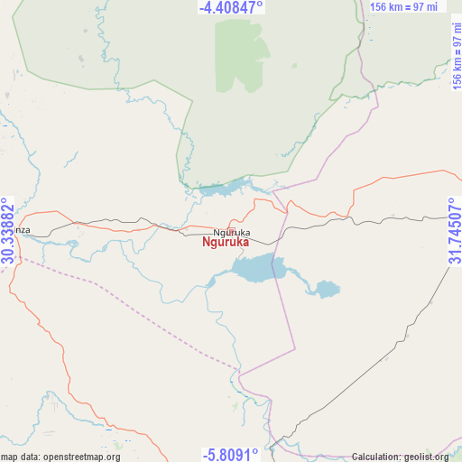
Nguruka GPS coordinates[2]
5° 6' 33.012" South, 31° 2' 30.984" East
| Map corner | latitude | longitude |
|---|---|---|
| Upper-left | -4.40847°, | 30.33882° |
| Center: | -5.10917°, | 31.04194° |
| Lower-right: | -5.8091°, | 31.74507° |
| Map W x H: | 155.7×155.7 km | = 96.7×96.7mi |
| max Lat: | -1.14389° ⇑47.9% North |
| Nguruka: | -5.10917° |
| min Lat: | ⇓52.1% South -11.36667° |
| min Long | Nguruka | max Long |
| 29.62667° | 31.04194° | 40.33333° |
| W 4.9%⇐ | ⇒95.1% E |
Elevation
Elevation of Nguruka is 1081 m = 3547 ft, and this is 138.2 m = 453 ft above average elevation for this country.
| Max E: |
2377 m = 7799 ft | 54.9% |
| Nguruka | 1081 m 3547 ft | |
| Avg. | 942.8 m = 3093 ft | |
Min E: |
0 m = 0 ft | 45.1% |
See also: Tanzania elevation on elevation.city.
Geographical zone
Nguruka is located in South Torrid zone (between Equator and Tropic of Capricorn). Distance of Equator is 568.1 km =353 mi to North.| Distance of | km | miles | from Nguruka |
|---|---|---|---|
| Equator | 568.1 | 353 | to North |
| Tropic Capricorn | 2037.8 | 1266.2 | to South |
| Antarctic Circle | 6833.1 | 4245.9 | to South |
| South Pole | 9439 | 5865.1 | to South |


Nearby cities:
15 places around Nguruka: (largest is in red/bold)
• Kaliua
83.4 km =51.8 mi,  86°
86°
• Karema
201.6 km =125.3 mi,  199°
199°
• Kasulu
119.7 km =74.4 mi,  299°
299°
• Kibondo
173 km =107.5 mi,  348°
348°
• Kigoma
158.9 km =98.7 mi,  279°
279°
• Mabama
165.2 km =102.7 mi, 90°
• Mabamba
178.3 km =110.8 mi,  340°
340°
• Mpanda
137.3 km =85.3 mi,  178°
178°
• Mwandiga
156.4 km =97.2 mi, 281°
• Sikonge
199.6 km =124 mi,  106°
106°
• Tabora
197.9 km =123 mi, 87°
• Tumbi
187.4 km =116.4 mi, 88°
• Urambo
111.7 km =69.4 mi, 87°
• Usoke
145 km =90.1 mi, 92°
• Uvinza
72.1 km =44.8 mi,  270°
270°
Sources, notices
• [Note1] Compared only with cities in Tanzania existing in our database
• [Src1] Map data: © OpenStreetMap contributors (CC-BY-SA)
• [Src2] Other city data from geonames.org with taken over terms of usage.
• [Src3] Geographical zone / Annual Mean Temperature by Robert A. Rohde @ Wikipedia
