Ifakara geodata
Ifakara (Morogoro) is a populated place; located in Tanzania in Africa/Dar_es_Salaam (GMT+3) time zone. With population of 49,528 people, there are 30 cities with bigger population in this country. Compared to other cities in Tanzania, 75.5% of cities are located further ↑North; 61.5% of cities are located further ←West and 82.5% of cities have higher elevation than Ifakara. Note1


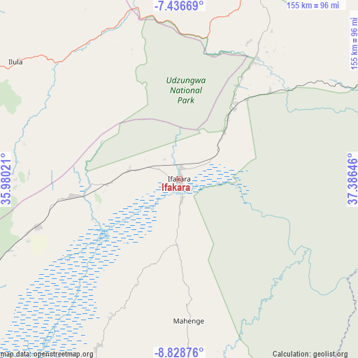
Ifakara GPS coordinates[2]
8° 7' 59.988" South, 36° 40' 59.988" East
| Map corner | latitude | longitude |
|---|---|---|
| Upper-left | -7.43669°, | 35.98021° |
| Center: | -8.13333°, | 36.68333° |
| Lower-right: | -8.82876°, | 37.38646° |
| Map W x H: | 154.8×154.8 km | = 96.2×96.2mi |
| max Lat: | -1.14389° ⇑75.5% North |
| Ifakara: | -8.13333° |
| min Lat: | ⇓24.5% South -11.36667° |
| min Long | Ifakara | max Long |
| 29.62667° | 36.68333° | 40.33333° |
| W 61.5%⇐ | ⇒38.5% E |
Elevation
Elevation of Ifakara is 259 m = 850 ft, and this is 683.8 m = 2243 ft below average elevation for this country.
| Max E: |
2377 m = 7799 ft | 82.5% |
| Avg. | 942.8 m = 3093 ft | |
| Ifakara | 259 m = 850 ft | |
Min E: |
0 m = 0 ft | 17.5% |
See also: Ifakara elevation on elevation.city.
Geographical zone
Ifakara is located in South Torrid zone (between Equator and Tropic of Capricorn). Distance of Equator is 904.3 km =561.9 mi to North.| Distance of | km | miles | from Ifakara |
|---|---|---|---|
| Equator | 904.3 | 561.9 | to North |
| Tropic Capricorn | 1701.6 | 1057.3 | to South |
| Antarctic Circle | 6496.8 | 4036.9 | to South |
| South Pole | 9102.7 | 5656.2 | to South |


Nearby cities:
15 places around Ifakara: (largest is in red/bold)
• Ilula
87.5 km =54.4 mi,  305°
305°
• Iringa
115.7 km =71.9 mi,  290°
290°
• Izazi
147.4 km =91.6 mi, 314°
• Kibakwe
161.3 km =100.2 mi,  347°
347°
• Kidatu
56.9 km =35.4 mi,  31°
31°
• Kidodi
68.7 km =42.7 mi, 30°
• Kilosa
148.3 km =92.1 mi,  12°
12°
• Kimamba
158.1 km =98.2 mi,  18°
18°
• Kisanga
136.5 km =84.8 mi,  55°
55°
• Lupiro
27.9 km =17.3 mi,  183°
183°
• Mahenge
61.3 km =38.1 mi, 176°
• Malinyi
107.6 km =66.9 mi,  214°
214°
• Mikumi
87.6 km =54.4 mi, 22°
• Mlimba
120.7 km =75 mi,  232°
232°
• Mtimbira
81 km =50.3 mi, 206°
Sources, notices
• [Note1] Compared only with cities in Tanzania existing in our database
• [Src1] Map data: © OpenStreetMap contributors (CC-BY-SA)
• [Src2] Other city data from geonames.org with taken over terms of usage.
• [Src3] Geographical zone / Annual Mean Temperature by Robert A. Rohde @ Wikipedia
