Mlimba geodata
Mlimba (Morogoro) is a populated place; located in Tanzania in Africa/Dar_es_Salaam (GMT+3) time zone. With population of 34,970 people, there are 46 cities with bigger population in this country. Compared to other cities in Tanzania, 78.7% of cities are located further ↑North; 57% of cities are located further ←West and 78.3% of cities have higher elevation than Mlimba. Note1


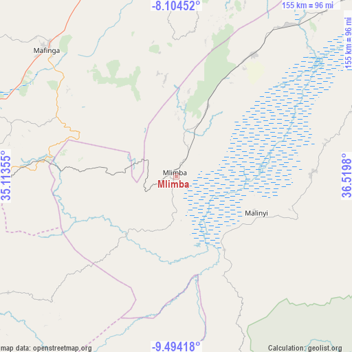
Mlimba GPS coordinates[2]
8° 48' 0" South, 35° 49' 0.012" East
| Map corner | latitude | longitude |
|---|---|---|
| Upper-left | -8.10452°, | 35.11355° |
| Center: | -8.8°, | 35.81667° |
| Lower-right: | -9.49418°, | 36.5198° |
| Map W x H: | 154.5×154.5 km | = 96×96mi |
| max Lat: | -1.14389° ⇑78.7% North |
| Mlimba: | -8.8° |
| min Lat: | ⇓21.3% South -11.36667° |
| min Long | Mlimba | max Long |
| 29.62667° | 35.81667° | 40.33333° |
| W 57%⇐ | ⇒43% E |
Elevation
Elevation of Mlimba is 306 m = 1004 ft, and this is 636.8 m = 2089 ft below average elevation for this country.
| Max E: |
2377 m = 7799 ft | 78.3% |
| Avg. | 942.8 m = 3093 ft | |
| Mlimba | 306 m = 1004 ft | |
Min E: |
0 m = 0 ft | 21.7% |
See also: Tanzania elevation on elevation.city.
Geographical zone
Mlimba is located in South Torrid zone (between Equator and Tropic of Capricorn). Distance of Equator is 978.5 km =608 mi to North.| Distance of | km | miles | from Mlimba |
|---|---|---|---|
| Equator | 978.5 | 608 | to North |
| Tropic Capricorn | 1627.5 | 1011.3 | to South |
| Antarctic Circle | 6422.7 | 3990.9 | to South |
| South Pole | 9028.6 | 5610.1 | to South |


Nearby cities:
15 places around Mlimba: (largest is in red/bold)
• Ifakara
120.7 km =75 mi,  52°
52°
• Ilembula
136 km =84.5 mi,  265°
265°
• Ilula
127.2 km =79 mi,  10°
10°
• Iringa
115.6 km =71.8 mi,  353°
353°
• Lupiro
104.3 km =64.8 mi,  63°
63°
• Mahanje
136.7 km =84.9 mi,  202°
202°
• Mahenge
99.8 km =62 mi,  82°
82°
• Makumbako
108.2 km =67.2 mi, 267°
• Makungu
59.1 km =36.7 mi,  277°
277°
• Malangali
109.4 km =68 mi, 283°
• Malinyi
37.8 km =23.5 mi,  113°
113°
• Mtimbira
58.6 km =36.4 mi,  88°
88°
• Mtwango
114.2 km =71 mi,  257°
257°
• Njombe
130 km =80.8 mi,  241°
241°
• Rujewa
157.9 km =98.1 mi, 274°
Sources, notices
• [Note1] Compared only with cities in Tanzania existing in our database
• [Src1] Map data: © OpenStreetMap contributors (CC-BY-SA)
• [Src2] Other city data from geonames.org with taken over terms of usage.
• [Src3] Geographical zone / Annual Mean Temperature by Robert A. Rohde @ Wikipedia
