Yablonovka geodata
Yablonovka (Ternopil) is a populated place; located in Ukraine in Europe/Kiev (GMT+3) time zone. With population of 617 people, there are 1573 cities with bigger population in this country. Compared to other cities in Ukraine, 65.6% of cities are located further ↓South; 84% of cities are located further →East and 91.1% of cities have lower elevation than Yablonovka. Note1


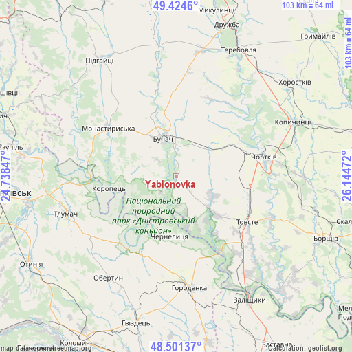
Yablonovka GPS coordinates[2]
48° 57' 54.432" North, 25° 26' 29.724" East
| Map corner | latitude | longitude |
|---|---|---|
| Upper-left | 49.4246°, | 24.73847° |
| Center: | 48.96512°, | 25.44159° |
| Lower-right: | 48.50137°, | 26.14472° |
| Map W x H: | 102.7×102.7 km | = 63.8×63.8mi |
| max Lat: | 52.18903° ⇑34.4% North |
| Yablonovka: | 48.96512° |
| min Lat: | ⇓65.6% South 44.39214° |
| min Long | Yablonovka | max Long |
| 22.20555° | 25.44159° | 40.13222° |
| W 16%⇐ | ⇒84% E |
Elevation
Elevation of Yablonovka is 314 m = 1030 ft, and this is 158.2 m = 519 ft above average elevation for this country.
| Max E: |
886 m = 2907 ft | 8.9% |
| Yablonovka | 314 m 1030 ft | |
| Avg. | 155.8 m = 511 ft | |
Min E: |
-3 m = -10 ft | 91.1% |
See also: Ukraine elevation on elevation.city.
Geographical zone
Yablonovka is located in North temperate zone (between Tropic of Cancer and the Arctic Circle). Distance of this North polar circle is 1956.8 km =1215.9 mi to North.| Distance of | km | miles | from Yablonovka |
|---|---|---|---|
| North Pole | 4562.7 | 2835.1 | to North |
| Arctic Circle | 1956.8 | 1215.9 | to North |
| Tropic Cancer | 2838.5 | 1763.8 | to South |
| Equator | 5444.4 | 3383 | to South |


Nearby cities:
15 places around Yablonovka: (largest is in red/bold)
• Belaya
25 km =15.5 mi,  73°
73°
• Buchach
11.5 km =7.1 mi,  340°
340°
• Chernelytsya
17.1 km =10.6 mi,  184°
184°
• Chernyatyn
33.9 km =21.1 mi, 179°
• Chortkiv
26.6 km =16.5 mi,  77°
77°
• Druzhba
8.6 km =5.3 mi,  4°
4°
• Horodenka
32.8 km =20.4 mi,  172°
172°
• Monastyrys’ka
23.9 km =14.9 mi,  305°
305°
• Nyrkiv
20.3 km =12.6 mi,  145°
145°
• Obertyn
35.5 km =22.1 mi,  214°
214°
• Tlumach
33.9 km =21.1 mi,  250°
250°
• Tovste
24.6 km =15.3 mi,  122°
122°
• Yagel’nitsa Stara
19.8 km =12.3 mi,  85°
85°
• Yahil’nytsya
22.2 km =13.8 mi,  96°
96°
• Zolotyy Potik
9.7 km =6 mi,  230°
230°
Sources, notices
• [Note1] Compared only with cities in Ukraine existing in our database
• [Src1] Map data: © OpenStreetMap contributors (CC-BY-SA)
• [Src2] Other city data from geonames.org with taken over terms of usage.
• [Src3] Geographical zone / Annual Mean Temperature by Robert A. Rohde @ Wikipedia
