Petrikov geodata
Petrikov (Ternopil) is a populated place; located in Ukraine in Europe/Kiev (GMT+3) time zone. With population of 3,033 people, there are 934 cities with bigger population in this country. Compared to other cities in Ukraine, 75% of cities are located further ↓South; 83.3% of cities are located further →East and 91.9% of cities have lower elevation than Petrikov. Note1


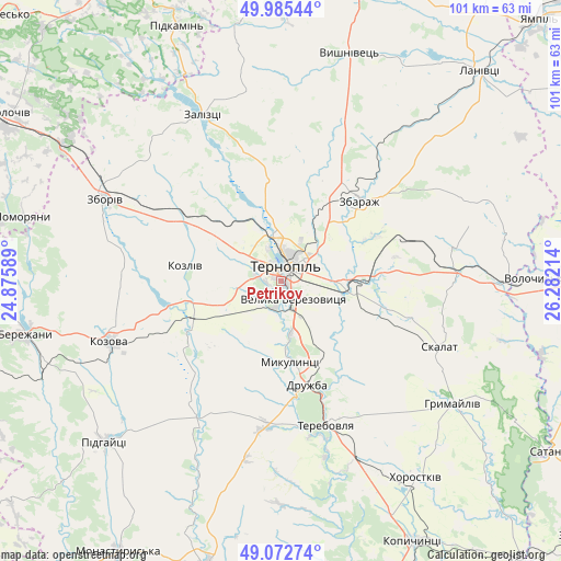
Petrikov GPS coordinates[2]
49° 31' 52.392" North, 25° 34' 44.436" East
| Map corner | latitude | longitude |
|---|---|---|
| Upper-left | 49.98544°, | 24.87589° |
| Center: | 49.53122°, | 25.57901° |
| Lower-right: | 49.07274°, | 26.28214° |
| Map W x H: | 101.5×101.5 km | = 63.1×63.1mi |
| max Lat: | 52.18903° ⇑25% North |
| Petrikov: | 49.53122° |
| min Lat: | ⇓75% South 44.39214° |
| min Long | Petrikov | max Long |
| 22.20555° | 25.57901° | 40.13222° |
| W 16.7%⇐ | ⇒83.3% E |
Elevation
Elevation of Petrikov is 320 m = 1050 ft, and this is 164.2 m = 539 ft above average elevation for this country.
| Max E: |
886 m = 2907 ft | 8.1% |
| Petrikov | 320 m 1050 ft | |
| Avg. | 155.8 m = 511 ft | |
Min E: |
-3 m = -10 ft | 91.9% |
See also: Ukraine elevation on elevation.city.
Geographical zone
Petrikov is located in North temperate zone (between Tropic of Cancer and the Arctic Circle). Distance of this North polar circle is 1893.8 km =1176.8 mi to North.| Distance of | km | miles | from Petrikov |
|---|---|---|---|
| North Pole | 4499.7 | 2796 | to North |
| Arctic Circle | 1893.8 | 1176.8 | to North |
| Tropic Cancer | 2901.4 | 1802.8 | to South |
| Equator | 5507.4 | 3422.1 | to South |


Nearby cities:
15 places around Petrikov: (largest is in red/bold)
• Hrymayliv
38.3 km =23.8 mi,  125°
125°
• Khorostkiv
43.4 km =27 mi,  145°
145°
• Kozova
32.7 km =20.3 mi,  250°
250°
• Mikulintsy
15.2 km =9.4 mi,  172°
172°
• Nadrichne
44.7 km =27.8 mi,  270°
270°
• Ozerna
21 km =13 mi,  301°
301°
• Pidhaytsi
43.5 km =27 mi,  227°
227°
• Pidvolochysk
40.9 km =25.4 mi,  89°
89°
• Skalat
31.1 km =19.3 mi,  111°
111°
• Terebovlya
27.2 km =16.9 mi,  159°
159°
• Ternopil
2.6 km =1.6 mi,  16°
16°
• Velikiye Borki
12.9 km =8 mi, 93°
• Zaliztsi
32.6 km =20.3 mi,  332°
332°
• Zbarazh
20.5 km =12.7 mi,  43°
43°
• Zboriv
34.9 km =21.7 mi, 295°
Sources, notices
• [Note1] Compared only with cities in Ukraine existing in our database
• [Src1] Map data: © OpenStreetMap contributors (CC-BY-SA)
• [Src2] Other city data from geonames.org with taken over terms of usage.
• [Src3] Geographical zone / Annual Mean Temperature by Robert A. Rohde @ Wikipedia
