Olesko geodata
Olesko (Lviv) is a populated place; located in Ukraine in Europe/Kiev (GMT+3) time zone. With population of 1,800 people, there are 1150 cities with bigger population in this country. Compared to other cities in Ukraine, 83% of cities are located further ↓South; 86.8% of cities are located further →East and 76.6% of cities have lower elevation than Olesko. Note1


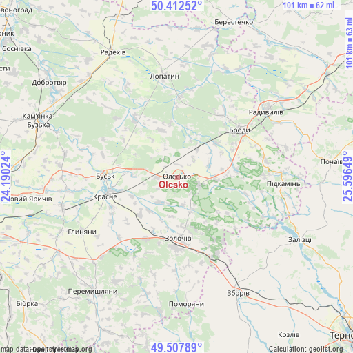
Olesko GPS coordinates[2]
49° 57' 44.388" North, 24° 53' 36.096" East
| Map corner | latitude | longitude |
|---|---|---|
| Upper-left | 50.41252°, | 24.19024° |
| Center: | 49.96233°, | 24.89336° |
| Lower-right: | 49.50789°, | 25.59649° |
| Map W x H: | 100.6×100.6 km | = 62.5×62.5mi |
| max Lat: | 52.18903° ⇑17% North |
| Olesko: | 49.96233° |
| min Lat: | ⇓83% South 44.39214° |
| min Long | Olesko | max Long |
| 22.20555° | 24.89336° | 40.13222° |
| W 13.2%⇐ | ⇒86.8% E |
Elevation
Elevation of Olesko is 232 m = 761 ft, and this is 76.2 m = 250 ft above average elevation for this country.
| Max E: |
886 m = 2907 ft | 23.4% |
| Olesko | 232 m 761 ft | |
| Avg. | 155.8 m = 511 ft | |
Min E: |
-3 m = -10 ft | 76.6% |
See also: Ukraine elevation on elevation.city.
Geographical zone
Olesko is located in North temperate zone (between Tropic of Cancer and the Arctic Circle). Distance of this North polar circle is 1845.9 km =1147 mi to North.| Distance of | km | miles | from Olesko |
|---|---|---|---|
| North Pole | 4451.8 | 2766.2 | to North |
| Arctic Circle | 1845.9 | 1147 | to North |
| Tropic Cancer | 2949.4 | 1832.7 | to South |
| Equator | 5555.3 | 3451.9 | to South |


Nearby cities:
15 places around Olesko: (largest is in red/bold)
• Brody
23.1 km =14.4 mi,  52°
52°
• Bus’k
20.1 km =12.5 mi,  270°
270°
• Dunayiv
38.7 km =24 mi,  187°
187°
• Krasne
20.7 km =12.9 mi,  255°
255°
• Kulykiv
39.5 km =24.5 mi,  352°
352°
• Lopatyn
28.9 km =18 mi, 353°
• Pidhirtsi
6.4 km =4 mi,  106°
106°
• Pidkamin’
30.3 km =18.8 mi,  93°
93°
• Pomoriany
35.8 km =22.2 mi,  175°
175°
• Radekhiv
39.8 km =24.7 mi,  333°
333°
• Radyvyliv
31.9 km =19.8 mi, 54°
• Vyshnivchyk
31 km =19.3 mi,  199°
199°
• Zaliztsi
39.2 km =24.4 mi,  118°
118°
• Zboriv
37.5 km =23.3 mi,  151°
151°
• Zolochiv
17.4 km =10.8 mi, 179°
Sources, notices
• [Note1] Compared only with cities in Ukraine existing in our database
• [Src1] Map data: © OpenStreetMap contributors (CC-BY-SA)
• [Src2] Other city data from geonames.org with taken over terms of usage.
• [Src3] Geographical zone / Annual Mean Temperature by Robert A. Rohde @ Wikipedia
