Nuyno geodata
Nuyno (Volyn) is a populated place; located in Ukraine in Europe/Kiev (GMT+3) time zone. With population of 1,681 people, there are 1174 cities with bigger population in this country. Compared to other cities in Ukraine, 98.2% of cities are located further ↓South; 86.5% of cities are located further →East and 58.1% of cities have lower elevation than Nuyno. Note1


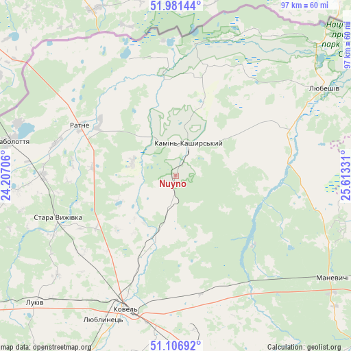
Nuyno GPS coordinates[2]
51° 32' 46.608" North, 24° 54' 36.648" East
| Map corner | latitude | longitude |
|---|---|---|
| Upper-left | 51.98144°, | 24.20706° |
| Center: | 51.54628°, | 24.91018° |
| Lower-right: | 51.10692°, | 25.61331° |
| Map W x H: | 97.2×97.2 km | = 60.4×60.4mi |
| max Lat: | 52.18903° ⇑1.8% North |
| Nuyno: | 51.54628° |
| min Lat: | ⇓98.2% South 44.39214° |
| min Long | Nuyno | max Long |
| 22.20555° | 24.91018° | 40.13222° |
| W 13.5%⇐ | ⇒86.5% E |
Elevation
Elevation of Nuyno is 161 m = 528 ft, and this is 5.2 m = 17 ft above average elevation for this country.
| Max E: |
886 m = 2907 ft | 41.9% |
| Nuyno | 161 m 528 ft | |
| Avg. | 155.8 m = 511 ft | |
Min E: |
-3 m = -10 ft | 58.1% |
See also: Ukraine elevation on elevation.city.
Geographical zone
Nuyno is located in North temperate zone (between Tropic of Cancer and the Arctic Circle). Distance of this North polar circle is 1669.8 km =1037.6 mi to North.| Distance of | km | miles | from Nuyno |
|---|---|---|---|
| North Pole | 4275.7 | 2656.8 | to North |
| Arctic Circle | 1669.8 | 1037.6 | to North |
| Tropic Cancer | 3125.5 | 1942.1 | to South |
| Equator | 5731.4 | 3561.3 | to South |


Nearby cities:
15 places around Nuyno: (largest is in red/bold)
• Hołoby
51.6 km =32.1 mi,  172°
172°
• Kamin-Kashyrskyi
9.3 km =5.8 mi,  21°
21°
• Kovel
39.4 km =24.5 mi,  200°
200°
• Liuboml
70.3 km =43.7 mi,  239°
239°
• Lukiv
64.7 km =40.2 mi,  148°
148°
• Lyubeshiv
48.3 km =30 mi,  59°
59°
• Manevychi
51.6 km =32.1 mi,  122°
122°
• Oles’k
69.7 km =43.3 mi,  225°
225°
• Pidrichchya
8.8 km =5.5 mi,  298°
298°
• Rakiv Lis
8.4 km =5.2 mi,  6°
6°
• Ratne
29.5 km =18.3 mi, 297°
• Shats’k
67.4 km =41.9 mi,  265°
265°
• Stara Vyzhivka
34.7 km =21.6 mi,  249°
249°
• Turiys’k
57.8 km =35.9 mi,  207°
207°
• Varash
68.5 km =42.6 mi,  108°
108°
Sources, notices
• [Note1] Compared only with cities in Ukraine existing in our database
• [Src1] Map data: © OpenStreetMap contributors (CC-BY-SA)
• [Src2] Other city data from geonames.org with taken over terms of usage.
• [Src3] Geographical zone / Annual Mean Temperature by Robert A. Rohde @ Wikipedia
