Novoukrayinka geodata
Novoukrayinka (Kirovohrad) is a seat of a second-order administrative division; located in Ukraine in Europe/Kiev (GMT+3) time zone. With population of 18,633 people, there are 217 cities with bigger population in this country. Compared to other cities in Ukraine, 50.7% of cities are located further ↓South; 59.1% of cities are located further →East and 56.3% of cities have lower elevation than Novoukrayinka. Note1


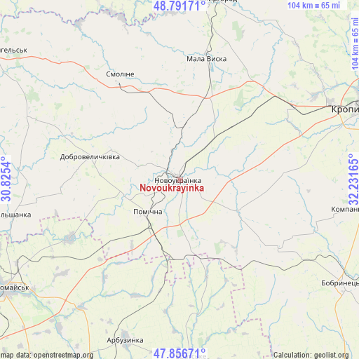
Novoukrayinka GPS coordinates[2]
48° 19' 34.86" North, 31° 31' 42.672" East
| Map corner | latitude | longitude |
|---|---|---|
| Upper-left | 48.79171°, | 30.8254° |
| Center: | 48.32635°, | 31.52852° |
| Lower-right: | 47.85671°, | 32.23165° |
| Map W x H: | 104×104 km | = 64.6×64.6mi |
| max Lat: | 52.18903° ⇑49.3% North |
| Novoukrayinka: | 48.32635° |
| min Lat: | ⇓50.7% South 44.39214° |
| min Long | Novoukrayinka | max Long |
| 22.20555° | 31.52852° | 40.13222° |
| W 40.9%⇐ | ⇒59.1% E |
Elevation
Elevation of Novoukrayinka is 156 m = 512 ft, and this is 0.19999999999999 m = 1 ft above average elevation for this country.
| Max E: |
886 m = 2907 ft | 43.7% |
| Novoukrayinka | 156 m 512 ft | |
| Avg. | 155.8 m = 511 ft | |
Min E: |
-3 m = -10 ft | 56.3% |
See also: Ukraine elevation on elevation.city.
Geographical zone
Novoukrayinka is located in North temperate zone (between Tropic of Cancer and the Arctic Circle). Distance of this North polar circle is 2027.8 km =1260 mi to North.| Distance of | km | miles | from Novoukrayinka |
|---|---|---|---|
| North Pole | 4633.7 | 2879.2 | to North |
| Arctic Circle | 2027.8 | 1260 | to North |
| Tropic Cancer | 2767.5 | 1719.6 | to South |
| Equator | 5373.4 | 3338.9 | to South |


Nearby cities:
15 places around Novoukrayinka: (largest is in red/bold)
• Arbuzynka
48.9 km =30.4 mi,  198°
198°
• Brats’ke
51.6 km =32.1 mi,  175°
175°
• Dobrovelychkivka
26.6 km =16.5 mi,  284°
284°
• Kompaniyivka
51 km =31.7 mi,  99°
99°
• Lypnyazhka
36 km =22.4 mi,  291°
291°
• Lysa Hora
35.5 km =22.1 mi,  240°
240°
• Mala Vyska
36.1 km =22.4 mi,  12°
12°
• Myhiya
53.5 km =33.2 mi,  233°
233°
• Novomyrhorod
51.2 km =31.8 mi, 9°
• Pidhorodna
53.3 km =33.1 mi, 242°
• Pomichna
12.5 km =7.8 mi,  221°
221°
• Rivne
18.9 km =11.7 mi,  117°
117°
• Tyshkivka
47.2 km =29.3 mi, 293°
• Vil’shanka
49.3 km =30.6 mi,  258°
258°
• Zlynka
17.7 km =11 mi,  2°
2°
Sources, notices
• [Note1] Compared only with cities in Ukraine existing in our database
• [Src1] Map data: © OpenStreetMap contributors (CC-BY-SA)
• [Src2] Other city data from geonames.org with taken over terms of usage.
• [Src3] Geographical zone / Annual Mean Temperature by Robert A. Rohde @ Wikipedia
