Kompaniyivka geodata
Kompaniyivka (Kirovohrad) is a seat of a second-order administrative division; located in Ukraine in Europe/Kiev (GMT+3) time zone. With population of 4,934 people, there are 658 cities with bigger population in this country. Compared to other cities in Ukraine, 51.1% of cities are located further ↑North; 56.6% of cities are located further →East and 55.5% of cities have lower elevation than Kompaniyivka. Note1


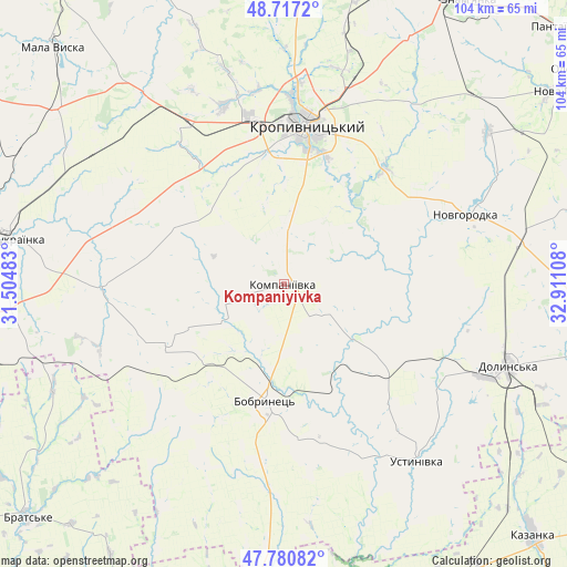
Kompaniyivka GPS coordinates[2]
48° 15' 4.14" North, 32° 12' 28.62" East
| Map corner | latitude | longitude |
|---|---|---|
| Upper-left | 48.7172°, | 31.50483° |
| Center: | 48.25115°, | 32.20795° |
| Lower-right: | 47.78082°, | 32.91108° |
| Map W x H: | 104.1×104.1 km | = 64.7×64.7mi |
| max Lat: | 52.18903° ⇑51.1% North |
| Kompaniyivka: | 48.25115° |
| min Lat: | ⇓48.9% South 44.39214° |
| min Long | Kompaniyivka | max Long |
| 22.20555° | 32.20795° | 40.13222° |
| W 43.4%⇐ | ⇒56.6% E |
Elevation
Elevation of Kompaniyivka is 154 m = 505 ft, and this is 1.8 m = 6 ft below average elevation for this country.
| Max E: |
886 m = 2907 ft | 44.5% |
| Avg. | 155.8 m = 511 ft | |
| Kompaniyivka | 154 m = 505 ft | |
Min E: |
-3 m = -10 ft | 55.5% |
See also: Ukraine elevation on elevation.city.
Geographical zone
Kompaniyivka is located in North temperate zone (between Tropic of Cancer and the Arctic Circle). Distance of this North polar circle is 2036.1 km =1265.2 mi to North.| Distance of | km | miles | from Kompaniyivka |
|---|---|---|---|
| North Pole | 4642 | 2884.4 | to North |
| Arctic Circle | 2036.1 | 1265.2 | to North |
| Tropic Cancer | 2759.1 | 1714.4 | to South |
| Equator | 5365 | 3333.7 | to South |


Nearby cities:
15 places around Kompaniyivka: (largest is in red/bold)
• Adzhamka
40.4 km =25.1 mi,  36°
36°
• Bobrynets
21.6 km =13.4 mi,  188°
188°
• Dolyns'ka
44.1 km =27.4 mi,  110°
110°
• Kropyvnytskyi
29.4 km =18.3 mi,  7°
7°
• Mala Vyska
60.6 km =37.7 mi,  315°
315°
• Molodizhne
34.5 km =21.4 mi,  103°
103°
• Nova Praha
62.2 km =38.6 mi,  55°
55°
• Novhorodka
35.6 km =22.1 mi,  69°
69°
• Novoukrayinka
51 km =31.7 mi,  279°
279°
• Pomichna
58.7 km =36.5 mi,  269°
269°
• Rivne
33.6 km =20.9 mi, 269°
• Subottsi
50.5 km =31.4 mi,  27°
27°
• Ustynivka
41 km =25.5 mi,  143°
143°
• Zlynka
55.8 km =34.7 mi,  297°
297°
• Znomenka
61.4 km =38.2 mi, 33°
Sources, notices
• [Note1] Compared only with cities in Ukraine existing in our database
• [Src1] Map data: © OpenStreetMap contributors (CC-BY-SA)
• [Src2] Other city data from geonames.org with taken over terms of usage.
• [Src3] Geographical zone / Annual Mean Temperature by Robert A. Rohde @ Wikipedia
