Kibale geodata
Kibale (Western Region) is a seat of a second-order administrative division; located in Uganda in Africa/Kampala (GMT+3) time zone. With population of 5,200 people, there are 73 cities with bigger population in this country. Compared to other cities in Uganda, 51.4% of cities are located further ↓South; 74.7% of cities are located further →East and 78.8% of cities have lower elevation than Kibale. Note1
Administrative division(s):
- Level 1: Western Region
- Level 2: Kibale District
- Level 3: Buyanja
- Level 4: Bwamiramira


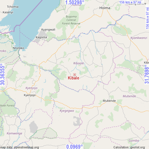
Kibale GPS coordinates[2]
0° 48' 0" North, 31° 4' 0.012" East
| Map corner | latitude | longitude |
|---|---|---|
| Upper-left | 1.50298°, | 30.36355° |
| Center: | 0.8°, | 31.06667° |
| Lower-right: | 0.0969°, | 31.7698° |
| Map W x H: | 156.3×156.3 km | = 97.1×97.1mi |
| max Lat: | 3.66088° ⇑48.6% North |
| Kibale: | 0.8° |
| min Lat: | ⇓51.4% South -1.28538° |
| min Long | Kibale | max Long |
| 29.65° | 31.06667° | 34.95° |
| W 25.3%⇐ | ⇒74.7% E |
Elevation
Elevation of Kibale is 1367 m = 4485 ft, and this is 108 m = 354 ft above average elevation for this country.
| Max E: |
4129 m = 13547 ft | 21.2% |
| Kibale | 1367 m 4485 ft | |
| Avg. | 1259 m = 4131 ft | |
Min E: |
622 m = 2041 ft | 78.8% |
See also: Uganda elevation on elevation.city.
Geographical zone
Kibale is located in North Torrid zone (between Equator and Tropic of Cancer). Distance of Equator is 89 km =55.3 mi to South.| Distance of | km | miles | from Kibale |
|---|---|---|---|
| North Pole | 9918.1 | 6162.8 | to North |
| Arctic Circle | 7312.2 | 4543.6 | to North |
| Tropic Cancer | 2517 | 1564 | to North |
| Equator | 89 | 55.3 | to South |


Nearby cities:
15 places around Kibale: (largest is in red/bold)
• Fort Portal
89.4 km =55.6 mi,  260°
260°
• Hoima
77.2 km =48 mi,  24°
24°
• Kagadi
32.5 km =20.2 mi,  298°
298°
• Kakumiro
28.6 km =17.8 mi,  94°
94°
• Kamwenge
96.4 km =59.9 mi,  224°
224°
• Kibiito
103.6 km =64.4 mi,  249°
249°
• Kiboga
79.7 km =49.5 mi,  80°
80°
• Kigorobya
94.7 km =58.8 mi, 16°
• Kyankwanzi
93 km =57.8 mi,  61°
61°
• Kyegegwa
33.2 km =20.6 mi,  184°
184°
• Kyenjojo
52.9 km =32.9 mi, 249°
• Mubende
45.3 km =28.1 mi,  126°
126°
• Muhororo
37.4 km =23.2 mi,  294°
294°
• Ntoroko
70.4 km =43.7 mi, 292°
• Sembabule
106.7 km =66.3 mi,  156°
156°
Sources, notices
• [Note1] Compared only with cities in Uganda existing in our database
• [Src1] Map data: © OpenStreetMap contributors (CC-BY-SA)
• [Src2] Other city data from geonames.org with taken over terms of usage.
• [Src3] Geographical zone / Annual Mean Temperature by Robert A. Rohde @ Wikipedia
