Kigorobya geodata
Kigorobya (Western Region) is a populated place; located in Uganda in Africa/Kampala (GMT+3) time zone. With population of 5,420 people, there are 72 cities with bigger population in this country. Compared to other cities in Uganda, 73.3% of cities are located further ↓South; 71.9% of cities are located further →East and 77.4% of cities have higher elevation than Kigorobya. Note1
Administrative division(s):
- Level 1: Western Region
- Level 2: Hoima District
- Level 3: Bugahya
- Level 4: Kigorobya Town Council


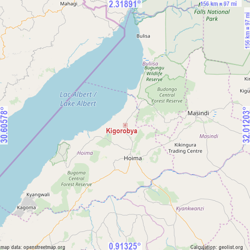
Kigorobya GPS coordinates[2]
1° 36' 58.32" North, 31° 18' 32.04" East
| Map corner | latitude | longitude |
|---|---|---|
| Upper-left | 2.31891°, | 30.60578° |
| Center: | 1.6162°, | 31.3089° |
| Lower-right: | 0.91325°, | 32.01203° |
| Map W x H: | 156.3×156.3 km | = 97.1×97.1mi |
| max Lat: | 3.66088° ⇑26.7% North |
| Kigorobya: | 1.6162° |
| min Lat: | ⇓73.3% South -1.28538° |
| min Long | Kigorobya | max Long |
| 29.65° | 31.3089° | 34.95° |
| W 28.1%⇐ | ⇒71.9% E |
Elevation
Elevation of Kigorobya is 1094 m = 3589 ft, and this is 165 m = 541 ft below average elevation for this country.
| Max E: |
4129 m = 13547 ft | 77.4% |
| Avg. | 1259 m = 4131 ft | |
| Kigorobya | 1094 m = 3589 ft | |
Min E: |
622 m = 2041 ft | 22.6% |
See also: Uganda elevation on elevation.city.
Geographical zone
Kigorobya is located in North Torrid zone (between Equator and Tropic of Cancer). Distance of Equator is 179.7 km =111.7 mi to South.| Distance of | km | miles | from Kigorobya |
|---|---|---|---|
| North Pole | 9827.4 | 6106.5 | to North |
| Arctic Circle | 7221.5 | 4487.2 | to North |
| Tropic Cancer | 2426.2 | 1507.6 | to North |
| Equator | 179.7 | 111.7 | to South |


Nearby cities:
15 places around Kigorobya: (largest is in red/bold)
• Bulisa
56.9 km =35.4 mi,  11°
11°
• Hoima
20.9 km =13 mi,  166°
166°
• Kagadi
93.7 km =58.2 mi,  216°
216°
• Kakumiro
92.9 km =57.7 mi,  178°
178°
• Kibale
94.7 km =58.8 mi,  196°
196°
• Kiboga
93.5 km =58.1 mi,  146°
146°
• Kiryandongo
88.6 km =55.1 mi,  70°
70°
• Kyankwanzi
71.6 km =44.5 mi,  130°
130°
• Masindi
45.6 km =28.3 mi,  81°
81°
• Masindi Port
86.8 km =53.9 mi, 84°
• Muhororo
97 km =60.3 mi, 219°
• Nebbi
98.9 km =61.5 mi,  345°
345°
• Ntoroko
112.1 km =69.7 mi,  235°
235°
• Paidha
96 km =59.7 mi,  338°
338°
• Zombo
109.2 km =67.9 mi, 335°
Sources, notices
• [Note1] Compared only with cities in Uganda existing in our database
• [Src1] Map data: © OpenStreetMap contributors (CC-BY-SA)
• [Src2] Other city data from geonames.org with taken over terms of usage.
• [Src3] Geographical zone / Annual Mean Temperature by Robert A. Rohde @ Wikipedia
