Hurtsboro geodata
Hurtsboro (Alabama) is a populated place; located in United States in America/Chicago (GMT-5) time zone. With population of 600 people, there are 19702 cities with bigger population in this country. Compared to other cities in United States, 88% of cities are located further ↑North; 54.8% of cities are located further ←West and 68.6% of cities have higher elevation than Hurtsboro. Note1


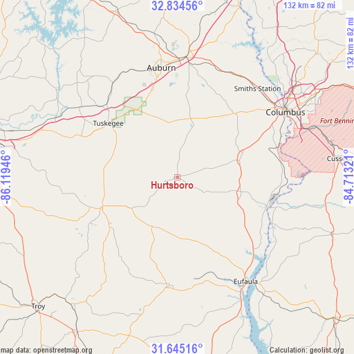
Hurtsboro GPS coordinates[2]
32° 14' 30.516" North, 85° 24' 58.788" West
| Map corner | latitude | longitude |
|---|---|---|
| Upper-left | 32.83456°, | -86.11946° |
| Center: | 32.24181°, | -85.41633° |
| Lower-right: | 31.64516°, | -84.71321° |
| Map W x H: | 132.2×132.2 km | = 82.1×82.1mi |
| max Lat: | 71.29058° ⇑88% North |
| Hurtsboro: | 32.24181° |
| min Lat: | ⇓12% South 19.06759° |
| min Long | Hurtsboro | max Long |
| -171.73463° | -85.41633° | -66.98998° |
| W 54.8%⇐ | ⇒45.2% E |
Elevation
Elevation of Hurtsboro is 109 m = 358 ft, and this is 185.8 m = 610 ft below average elevation for this country.
| Max E: |
3189 m = 10463 ft | 68.6% |
| Avg. | 294.8 m = 967 ft | |
| Hurtsboro | 109 m = 358 ft | |
Min E: |
-60 m = -197 ft | 31.4% |
See also: United States elevation on elevation.city.
Geographical zone
Hurtsboro is located in North temperate zone (between Tropic of Cancer and the Arctic Circle). Distance of this Northern Tropic circle is 979 km =608.3 mi to South.| Distance of | km | miles | from Hurtsboro |
|---|---|---|---|
| North Pole | 6422.1 | 3990.5 | to North |
| Arctic Circle | 3816.2 | 2371.3 | to North |
| Tropic Cancer | 979 | 608.3 | to South |
| Equator | 3585 | 2227.6 | to South |


Nearby cities:
15 places around Hurtsboro: (largest is in red/bold)
• Auburn
41.4 km =25.7 mi,  351°
351°
• Bibb City
48.8 km =30.3 mi,  54°
54°
• Clayton
40.5 km =25.2 mi,  184°
184°
• Columbus
47.1 km =29.3 mi,  58°
58°
• Eufaula
46.6 km =29 mi,  146°
146°
• Georgetown
49.2 km =30.6 mi,  143°
143°
• Inverness
40 km =24.9 mi,  230°
230°
• Ladonia
40.5 km =25.2 mi, 51°
• Notasulga
42.8 km =26.6 mi,  325°
325°
• Opelika
45 km =28 mi,  4°
4°
• Phenix City
46.6 km =29 mi, 56°
• Reeltown
54.3 km =33.7 mi,  317°
317°
• Smiths Station
44.6 km =27.7 mi,  41°
41°
• Tuskegee
32.8 km =20.4 mi,  308°
308°
• Union Springs
30.1 km =18.7 mi,  248°
248°
Sources, notices
• [Note1] Compared only with cities in United States existing in our database
• [Src1] Map data: © OpenStreetMap contributors (CC-BY-SA)
• [Src2] Other city data from geonames.org with taken over terms of usage.
• [Src3] Geographical zone / Annual Mean Temperature by Robert A. Rohde @ Wikipedia
