Clarksville geodata
Clarksville (Tennessee) is a seat of a second-order administrative division; located in United States in America/Chicago (GMT-5) time zone. With population of 149,176 people, there are 196 cities with bigger population in this country. Compared to other cities in United States, 68% of cities are located further ↑North; 50.5% of cities are located further →East and 61.9% of cities have higher elevation than Clarksville. Note1


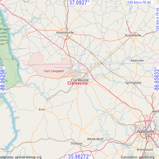
Clarksville GPS coordinates[2]
36° 31' 47.172" North, 87° 21' 34.02" West
| Map corner | latitude | longitude |
|---|---|---|
| Upper-left | 37.0927°, | -88.06258° |
| Center: | 36.52977°, | -87.35945° |
| Lower-right: | 35.96272°, | -86.65633° |
| Map W x H: | 125.6×125.6 km | = 78×78mi |
| max Lat: | 71.29058° ⇑68% North |
| Clarksville: | 36.52977° |
| min Lat: | ⇓32% South 19.06759° |
| min Long | Clarksville | max Long |
| -171.73463° | -87.35945° | -66.98998° |
| W 49.5%⇐ | ⇒50.5% E |
Elevation
Elevation of Clarksville is 145 m = 476 ft, and this is 149.8 m = 491 ft below average elevation for this country.
| Max E: |
3189 m = 10463 ft | 61.9% |
| Avg. | 294.8 m = 967 ft | |
| Clarksville | 145 m = 476 ft | |
Min E: |
-60 m = -197 ft | 38.1% |
See also: Clarksville elevation on elevation.city.
Geographical zone
Clarksville is located in North temperate zone (between Tropic of Cancer and the Arctic Circle). Distance of this Northern Tropic circle is 1455.8 km =904.6 mi to South.| Distance of | km | miles | from Clarksville |
|---|---|---|---|
| North Pole | 5945.3 | 3694.2 | to North |
| Arctic Circle | 3339.4 | 2075 | to North |
| Tropic Cancer | 1455.8 | 904.6 | to South |
| Equator | 4061.7 | 2523.8 | to South |


Nearby cities:
15 places around Clarksville: (largest is in red/bold)
• Adams
26.9 km =16.7 mi,  77°
77°
• Ashland City
38.8 km =24.1 mi,  137°
137°
• Charlotte
39.2 km =24.4 mi,  177°
177°
• Coopertown
36.5 km =22.7 mi,  106°
106°
• Dover
43.1 km =26.8 mi,  263°
263°
• Elkton
36.1 km =22.4 mi,  30°
30°
• Erin
38.1 km =23.7 mi,  231°
231°
• Fort Campbell North
16.5 km =10.3 mi,  326°
326°
• Guthrie
21.7 km =13.5 mi,  52°
52°
• Hopkinsville
39.1 km =24.3 mi,  342°
342°
• Oak Grove
16.8 km =10.4 mi, 333°
• Pembroke
27.4 km =17 mi,  0°
0°
• Pleasant View
32.6 km =20.3 mi,  117°
117°
• Springfield
42.5 km =26.4 mi,  93°
93°
• Tennessee Ridge
44.2 km =27.5 mi,  236°
236°
Sources, notices
• [Note1] Compared only with cities in United States existing in our database
• [Src1] Map data: © OpenStreetMap contributors (CC-BY-SA)
• [Src2] Other city data from geonames.org with taken over terms of usage.
• [Src3] Geographical zone / Annual Mean Temperature by Robert A. Rohde @ Wikipedia
