Frazee geodata
Frazee (Minnesota) is a populated place; located in United States in America/Chicago (GMT-5) time zone. With population of 1,371 people, there are 14256 cities with bigger population in this country. Compared to other cities in United States, 96.2% of cities are located further ↓South; 72.8% of cities are located further →East and 85% of cities have lower elevation than Frazee. Note1


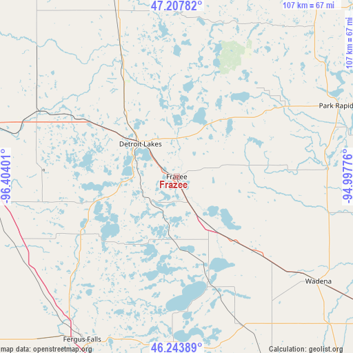
Frazee GPS coordinates[2]
46° 43' 40.836" North, 95° 42' 3.168" West
| Map corner | latitude | longitude |
|---|---|---|
| Upper-left | 47.20782°, | -96.40401° |
| Center: | 46.72801°, | -95.70088° |
| Lower-right: | 46.24389°, | -94.99776° |
| Map W x H: | 107.2×107.2 km | = 66.6×66.6mi |
| max Lat: | 71.29058° ⇑3.8% North |
| Frazee: | 46.72801° |
| min Lat: | ⇓96.2% South 19.06759° |
| min Long | Frazee | max Long |
| -171.73463° | -95.70088° | -66.98998° |
| W 27.2%⇐ | ⇒72.8% E |
Elevation
Elevation of Frazee is 423 m = 1388 ft, and this is 128.2 m = 421 ft above average elevation for this country.
| Max E: |
3189 m = 10463 ft | 15% |
| Frazee | 423 m 1388 ft | |
| Avg. | 294.8 m = 967 ft | |
Min E: |
-60 m = -197 ft | 85% |
See also: United States elevation on elevation.city.
Geographical zone
Frazee is located in North temperate zone (between Tropic of Cancer and the Arctic Circle). Distance of this North polar circle is 2205.5 km =1370.4 mi to North.| Distance of | km | miles | from Frazee |
|---|---|---|---|
| North Pole | 4811.4 | 2989.7 | to North |
| Arctic Circle | 2205.5 | 1370.4 | to North |
| Tropic Cancer | 2589.7 | 1609.2 | to South |
| Equator | 5195.7 | 3228.5 | to South |


Nearby cities:
15 places around Frazee: (largest is in red/bold)
• Audubon
26.1 km =16.2 mi,  305°
305°
• Battle Lake
49.8 km =30.9 mi,  181°
181°
• Detroit Lakes
14.8 km =9.2 mi, 312°
• Hawley
49.9 km =31 mi,  289°
289°
• Henning
49.2 km =30.6 mi,  156°
156°
• Lake Park
34.7 km =21.6 mi,  300°
300°
• Menahga
46 km =28.6 mi,  86°
86°
• New York Mills
34.1 km =21.2 mi,  133°
133°
• Ottertail
35.4 km =22 mi, 161°
• Park Rapids
53.4 km =33.2 mi,  66°
66°
• Pelican Rapids
34 km =21.1 mi,  239°
239°
• Perham
17.8 km =11.1 mi,  146°
146°
• Sebeka
47.9 km =29.8 mi,  103°
103°
• Wadena
53.6 km =33.3 mi, 126°
• White Earth
42.4 km =26.3 mi,  345°
345°
Sources, notices
• [Note1] Compared only with cities in United States existing in our database
• [Src1] Map data: © OpenStreetMap contributors (CC-BY-SA)
• [Src2] Other city data from geonames.org with taken over terms of usage.
• [Src3] Geographical zone / Annual Mean Temperature by Robert A. Rohde @ Wikipedia
