Pelican Rapids geodata
Pelican Rapids (Minnesota) is a populated place; located in United States in America/Chicago (GMT-5) time zone. With population of 2,461 people, there are 10719 cities with bigger population in this country. Compared to other cities in United States, 95.9% of cities are located further ↓South; 73.6% of cities are located further →East and 83.5% of cities have lower elevation than Pelican Rapids. Note1
Administrative division(s):
- Level 1: Minnesota
- Level 2: Otter Tail County
- Level 3: City of Pelican Rapids


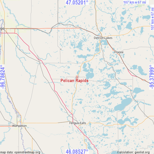
Pelican Rapids GPS coordinates[2]
46° 34' 14.844" North, 96° 4' 59.196" West
| Map corner | latitude | longitude |
|---|---|---|
| Upper-left | 47.05201°, | -96.78624° |
| Center: | 46.57079°, | -96.08311° |
| Lower-right: | 46.08527°, | -95.37999° |
| Map W x H: | 107.5×107.5 km | = 66.8×66.8mi |
| max Lat: | 71.29058° ⇑4.1% North |
| Pelican Rapids: | 46.57079° |
| min Lat: | ⇓95.9% South 19.06759° |
| min Long | Pelican Rapids | max Long |
| -171.73463° | -96.08311° | -66.98998° |
| W 26.4%⇐ | ⇒73.6% E |
Elevation
Elevation of Pelican Rapids is 397 m = 1302 ft, and this is 102.2 m = 335 ft above average elevation for this country.
| Max E: |
3189 m = 10463 ft | 16.5% |
| Pelican Rapids | 397 m 1302 ft | |
| Avg. | 294.8 m = 967 ft | |
Min E: |
-60 m = -197 ft | 83.5% |
See also: United States elevation on elevation.city.
Geographical zone
Pelican Rapids is located in North temperate zone (between Tropic of Cancer and the Arctic Circle). Distance of this North polar circle is 2223 km =1381.3 mi to North.| Distance of | km | miles | from Pelican Rapids |
|---|---|---|---|
| North Pole | 4828.9 | 3000.5 | to North |
| Arctic Circle | 2223 | 1381.3 | to North |
| Tropic Cancer | 2572.3 | 1598.4 | to South |
| Equator | 5178.2 | 3217.6 | to South |


Nearby cities:
15 places around Pelican Rapids: (largest is in red/bold)
• Audubon
33.4 km =20.8 mi,  13°
13°
• Barnesville
27.3 km =17 mi,  289°
289°
• Battle Lake
42.9 km =26.7 mi,  138°
138°
• Breckenridge
51.6 km =32.1 mi,  228°
228°
• Detroit Lakes
32.9 km =20.4 mi,  33°
33°
• Fergus Falls
32 km =19.9 mi,  179°
179°
• Frazee
34 km =21.1 mi,  59°
59°
• Glyndon
50.7 km =31.5 mi,  311°
311°
• Hawley
38.8 km =24.1 mi,  332°
332°
• Lake Park
35.1 km =21.8 mi,  358°
358°
• New York Mills
54.4 km =33.8 mi,  96°
96°
• Ottertail
43.4 km =27 mi,  111°
111°
• Perham
39.1 km =24.3 mi,  86°
86°
• Sabin
49.3 km =30.6 mi,  298°
298°
• Wahpeton
52.5 km =32.6 mi, 229°
Sources, notices
• [Note1] Compared only with cities in United States existing in our database
• [Src1] Map data: © OpenStreetMap contributors (CC-BY-SA)
• [Src2] Other city data from geonames.org with taken over terms of usage.
• [Src3] Geographical zone / Annual Mean Temperature by Robert A. Rohde @ Wikipedia
