Corona geodata
Corona (California) is a populated place; located in United States in America/Los_Angeles (GMT-7) time zone. With population of 164,226 people, there are 172 cities with bigger population in this country. Compared to other cities in United States, 81.1% of cities are located further ↑North; 90.4% of cities are located further →East and 53.7% of cities have lower elevation than Corona. Note1


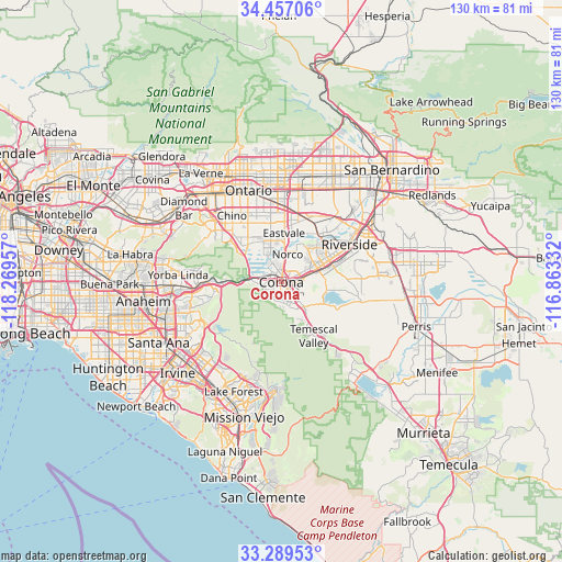
Corona GPS coordinates[2]
33° 52' 31.044" North, 117° 33' 59.184" West
| Map corner | latitude | longitude |
|---|---|---|
| Upper-left | 34.45706°, | -118.26957° |
| Center: | 33.87529°, | -117.56644° |
| Lower-right: | 33.28953°, | -116.86332° |
| Map W x H: | 129.8×129.8 km | = 80.7×80.7mi |
| max Lat: | 71.29058° ⇑81.1% North |
| Corona: | 33.87529° |
| min Lat: | ⇓18.9% South 19.06759° |
| min Long | Corona | max Long |
| -171.73463° | -117.56644° | -66.98998° |
| W 9.6%⇐ | ⇒90.4% E |
Elevation
Elevation of Corona is 213 m = 699 ft, and this is 81.8 m = 268 ft below average elevation for this country.
| Max E: |
3189 m = 10463 ft | 46.3% |
| Avg. | 294.8 m = 967 ft | |
| Corona | 213 m = 699 ft | |
Min E: |
-60 m = -197 ft | 53.7% |
See also: Corona elevation on elevation.city.
Geographical zone
Corona is located in North temperate zone (between Tropic of Cancer and the Arctic Circle). Distance of this Northern Tropic circle is 1160.7 km =721.2 mi to South.| Distance of | km | miles | from Corona |
|---|---|---|---|
| North Pole | 6240.5 | 3877.7 | to North |
| Arctic Circle | 3634.6 | 2258.4 | to North |
| Tropic Cancer | 1160.7 | 721.2 | to South |
| Equator | 3766.6 | 2340.5 | to South |


Nearby cities:
15 places around Corona: (largest is in red/bold)
• Chino
19 km =11.8 mi,  323°
323°
• Chino Hills
22.1 km =13.7 mi,  306°
306°
• Eastvale
9.8 km =6.1 mi,  1°
1°
• El Cerrito Corona
5.6 km =3.5 mi,  133°
133°
• Glen Avon
16.9 km =10.5 mi,  26°
26°
• Home Gardens
4.2 km =2.6 mi,  85°
85°
• Jurupa Valley
13.8 km =8.6 mi,  19°
19°
• Los Serranos
17 km =10.6 mi, 309°
• Norco
6.4 km =4 mi,  14°
14°
• Ontario
22.3 km =13.9 mi,  339°
339°
• Pedley
13.9 km =8.6 mi,  36°
36°
• Riverside
18 km =11.2 mi,  61°
61°
• Rubidoux
20 km =12.4 mi,  47°
47°
• Sunnyslope
19.5 km =12.1 mi, 38°
• Woodcrest
19.3 km =12 mi, 87°
Sources, notices
• [Note1] Compared only with cities in United States existing in our database
• [Src1] Map data: © OpenStreetMap contributors (CC-BY-SA)
• [Src2] Other city data from geonames.org with taken over terms of usage.
• [Src3] Geographical zone / Annual Mean Temperature by Robert A. Rohde @ Wikipedia
