Killdeer geodata
Killdeer (North Dakota) is a populated place; located in United States in America/Denver (GMT-6) time zone. With population of 1,254 people, there are 14828 cities with bigger population in this country. Compared to other cities in United States, 97.3% of cities are located further ↓South; 82.2% of cities are located further →East and 90.9% of cities have lower elevation than Killdeer. Note1


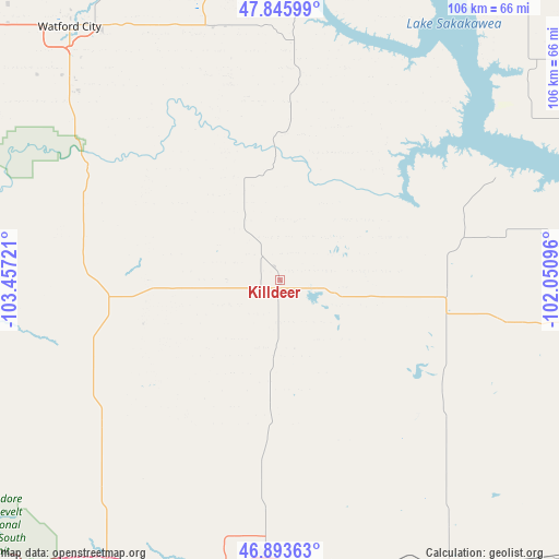
Killdeer GPS coordinates[2]
47° 22' 19.056" North, 102° 45' 14.688" West
| Map corner | latitude | longitude |
|---|---|---|
| Upper-left | 47.84599°, | -103.45721° |
| Center: | 47.37196°, | -102.75408° |
| Lower-right: | 46.89363°, | -102.05096° |
| Map W x H: | 105.9×105.9 km | = 65.8×65.8mi |
| max Lat: | 71.29058° ⇑2.7% North |
| Killdeer: | 47.37196° |
| min Lat: | ⇓97.3% South 19.06759° |
| min Long | Killdeer | max Long |
| -171.73463° | -102.75408° | -66.98998° |
| W 17.8%⇐ | ⇒82.2% E |
Elevation
Elevation of Killdeer is 696 m = 2283 ft, and this is 401.2 m = 1316 ft above average elevation for this country.
| Max E: |
3189 m = 10463 ft | 9.1% |
| Killdeer | 696 m 2283 ft | |
| Avg. | 294.8 m = 967 ft | |
Min E: |
-60 m = -197 ft | 90.9% |
See also: United States elevation on elevation.city.
Geographical zone
Killdeer is located in North temperate zone (between Tropic of Cancer and the Arctic Circle). Distance of this North polar circle is 2133.9 km =1325.9 mi to North.| Distance of | km | miles | from Killdeer |
|---|---|---|---|
| North Pole | 4739.8 | 2945.2 | to North |
| Arctic Circle | 2133.9 | 1325.9 | to North |
| Tropic Cancer | 2661.3 | 1653.7 | to South |
| Equator | 5267.3 | 3272.9 | to South |


Nearby cities:
15 places around Killdeer: (largest is in red/bold)
• Belfield
63.8 km =39.6 mi,  211°
211°
• Beulah
74.6 km =46.4 mi,  99°
99°
• Dickinson
54.9 km =34.1 mi,  182°
182°
• Four Bears Village
69.2 km =43 mi,  10°
10°
• Glen Ullin
93.4 km =58 mi,  131°
131°
• Hazen
85.7 km =53.3 mi, 95°
• Hebron
75 km =46.6 mi, 134°
• Mandaree
40.1 km =24.9 mi, 8°
• Manning
15.8 km =9.8 mi, 184°
• Medora
77.4 km =48.1 mi,  228°
228°
• New England
93 km =57.8 mi,  185°
185°
• New Town
70.5 km =43.8 mi,  16°
16°
• Parshall
79.6 km =49.5 mi,  35°
35°
• Richardton
63.6 km =39.5 mi,  148°
148°
• Watford City
62.2 km =38.6 mi,  320°
320°
Sources, notices
• [Note1] Compared only with cities in United States existing in our database
• [Src1] Map data: © OpenStreetMap contributors (CC-BY-SA)
• [Src2] Other city data from geonames.org with taken over terms of usage.
• [Src3] Geographical zone / Annual Mean Temperature by Robert A. Rohde @ Wikipedia
