Shahrisabz geodata
Shahrisabz (Qashqadaryo) is a populated place; located in Uzbekistan in Asia/Samarkand (GMT+5) time zone. With population of 57,051 people, there are 25 cities with bigger population in this country. Compared to other cities in Uzbekistan, 87.9% of cities are located further ↑North; 55.2% of cities are located further →East and 83.3% of cities have lower elevation than Shahrisabz. Note1


Shahrisabz GPS coordinates[2]
39° 3' 28.008" North, 66° 50' 3.012" East
| Map corner | latitude | longitude |
|---|---|---|
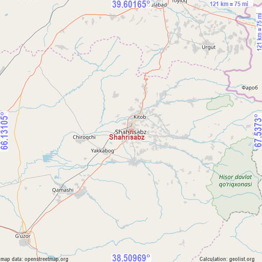
| Upper-left | 39.60165°, | 66.13105° |
| Center: | 39.05778°, | 66.83417° |
| Lower-right: | 38.50969°, | 67.5373° |
| Map W x H: | 121.4×121.4 km | = 75.4×75.4mi |
| max Lat: | 43.77877° ⇑87.9% North |
| Shahrisabz: | 39.05778° |
| min Lat: | ⇓12.1% South 37.22417° |
| min Long | Shahrisabz | max Long |
| 58.84596° | 66.83417° | 72.76177° |
| W 44.8%⇐ | ⇒55.2% E |
Elevation
Elevation of Shahrisabz is 631 m = 2070 ft, and this is 197.2 m = 647 ft above average elevation for this country.
| Max E: |
1464 m = 4803 ft | 16.7% |
| Shahrisabz | 631 m 2070 ft | |
| Avg. | 433.8 m = 1423 ft | |
Min E: |
50 m = 164 ft | 83.3% |
See also: Shahrisabz elevation on elevation.city.
Geographical zone
Shahrisabz is located in North temperate zone (between Tropic of Cancer and the Arctic Circle). Distance of this Northern Tropic circle is 1736.9 km =1079.3 mi to South.| Distance of | km | miles | from Shahrisabz |
|---|---|---|---|
| North Pole | 5664.2 | 3519.6 | to North |
| Arctic Circle | 3058.4 | 1900.4 | to North |
| Tropic Cancer | 1736.9 | 1079.3 | to South |
| Equator | 4342.8 | 2698.5 | to South |


Nearby cities:
15 places around Shahrisabz: (largest is in red/bold)
• Charxin
71.3 km =44.3 mi,  355°
355°
• Chiroqchi
22.8 km =14.2 mi,  263°
263°
• Chiroqchi Shahri
22.1 km =13.7 mi, 261°
• Daxbet
78.8 km =49 mi,  4°
4°
• G‘uzor
70.3 km =43.7 mi,  226°
226°
• G‘uzor Shahri
70.1 km =43.6 mi, 226°
• Jomboy
74.7 km =46.4 mi,  17°
17°
• Juma
74.6 km =46.4 mi,  348°
348°
• Kitob
2.9 km =1.8 mi, 358°
• Kitob Shahri
8 km =5 mi,  26°
26°
• Qamashi Shahri
41.5 km =25.8 mi, 230°
• Samarkand
67.2 km =41.8 mi,  9°
9°
• Shahrisabz Shahri
1.3 km =0.8 mi,  241°
241°
• Urgut
52 km =32.3 mi,  42°
42°
• Yakkabog‘ Shahri
15.5 km =9.6 mi, 234°
Sources, notices
• [Note1] Compared only with cities in Uzbekistan existing in our database
• [Src1] Map data: © OpenStreetMap contributors (CC-BY-SA)
• [Src2] Other city data from geonames.org with taken over terms of usage.
• [Src3] Geographical zone / Annual Mean Temperature by Robert A. Rohde @ Wikipedia
