Palmasola geodata
Palmasola (Falcón) is a seat of a second-order administrative division; located in Venezuela in America/Caracas (GMT-4) time zone. In our database, there are 108 cities with bigger population. Compared to other cities in Venezuela, 86.5% of cities are located further ↓South; 53.4% of cities are located further ←West and 83.2% of cities have higher elevation than Palmasola. Note1


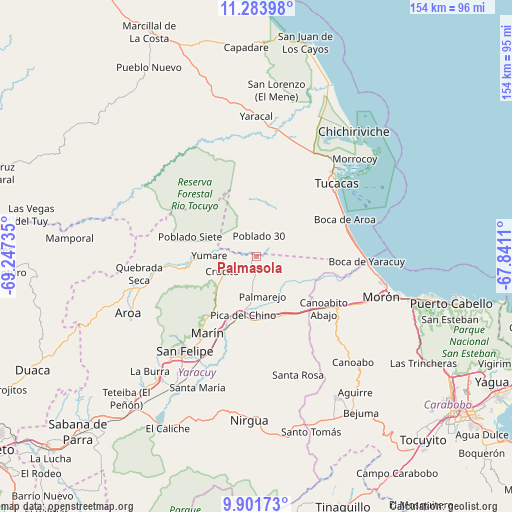
Palmasola GPS coordinates[2]
10° 35' 37.068" North, 68° 32' 39.192" West
| Map corner | latitude | longitude |
|---|---|---|
| Upper-left | 11.28398°, | -69.24735° |
| Center: | 10.59363°, | -68.54422° |
| Lower-right: | 9.90173°, | -67.8411° |
| Map W x H: | 153.7×153.7 km | = 95.5×95.5mi |
| max Lat: | 11.94788° ⇑13.5% North |
| Palmasola: | 10.59363° |
| min Lat: | ⇓86.5% South 1.92027° |
| min Long | Palmasola | max Long |
| -72.55212° | -68.54422° | -60.99778° |
| W 53.4%⇐ | ⇒46.6% E |
Elevation
Elevation of Palmasola is 38 m = 125 ft, and this is 342.6 m = 1124 ft below average elevation for this country.
| Max E: |
2986 m = 9797 ft | 83.2% |
| Avg. | 380.6 m = 1249 ft | |
| Palmasola | 38 m = 125 ft | |
Min E: |
-4 m = -13 ft | 16.8% |
See also: Venezuela elevation on elevation.city.
Geographical zone
Palmasola is located in North Torrid zone (between Equator and Tropic of Cancer). Distance of Equator is 1177.9 km =731.9 mi to South.| Distance of | km | miles | from Palmasola |
|---|---|---|---|
| North Pole | 8829.2 | 5486.2 | to North |
| Arctic Circle | 6223.3 | 3867 | to North |
| Tropic Cancer | 1428 | 887.3 | to North |
| Equator | 1177.9 | 731.9 | to South |


Nearby cities:
15 places around Palmasola: (largest is in red/bold)
• Aroa
42 km =26.1 mi,  245°
245°
• Boraure
45.7 km =28.4 mi,  212°
212°
• Chichiriviche
47.6 km =29.6 mi,  38°
38°
• Cocorote
40.1 km =24.9 mi,  220°
220°
• Farriar
13.8 km =8.6 mi,  186°
186°
• Guama
47.2 km =29.3 mi, 219°
• Independencia
36.9 km =22.9 mi, 218°
• Montalbán
48.5 km =30.1 mi,  150°
150°
• Morón
39.4 km =24.5 mi,  107°
107°
• Nirgua
49.3 km =30.6 mi,  182°
182°
• San Felipe
35.6 km =22.1 mi, 217°
• San Pablo
50.4 km =31.3 mi, 220°
• Tucacas
32.4 km =20.1 mi,  47°
47°
• Yaracal
41.8 km =26 mi,  359°
359°
• Yumare
14.1 km =8.8 mi,  271°
271°
Sources, notices
• [Note1] Compared only with cities in Venezuela existing in our database
• [Src1] Map data: © OpenStreetMap contributors (CC-BY-SA)
• [Src2] Other city data from geonames.org with taken over terms of usage.
• [Src3] Geographical zone / Annual Mean Temperature by Robert A. Rohde @ Wikipedia
