La Tendida geodata
La Tendida (Táchira) is a seat of a second-order administrative division; located in Venezuela in America/Caracas (GMT-4) time zone. In our database, there are 108 cities with bigger population. Compared to other cities in Venezuela, 74.3% of cities are located further ↑North; 91.1% of cities are located further →East and 58% of cities have higher elevation than La Tendida. Note1


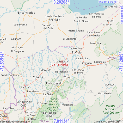
La Tendida GPS coordinates[2]
8° 30' 26.424" North, 71° 49' 55.236" West
| Map corner | latitude | longitude |
|---|---|---|
| Upper-left | 9.20208°, | -72.53514° |
| Center: | 8.50734°, | -71.83201° |
| Lower-right: | 7.81134°, | -71.12889° |
| Map W x H: | 154.6×154.6 km | = 96.1×96.1mi |
| max Lat: | 11.94788° ⇑74.3% North |
| La Tendida: | 8.50734° |
| min Lat: | ⇓25.7% South 1.92027° |
| min Long | La Tendida | max Long |
| -72.55212° | -71.83201° | -60.99778° |
| W 8.9%⇐ | ⇒91.1% E |
Elevation
Elevation of La Tendida is 145 m = 476 ft, and this is 235.6 m = 773 ft below average elevation for this country.
| Max E: |
2986 m = 9797 ft | 58% |
| Avg. | 380.6 m = 1249 ft | |
| La Tendida | 145 m = 476 ft | |
Min E: |
-4 m = -13 ft | 42% |
See also: Venezuela elevation on elevation.city.
Geographical zone
La Tendida is located in North Torrid zone (between Equator and Tropic of Cancer). Distance of Equator is 945.9 km =587.8 mi to South.| Distance of | km | miles | from La Tendida |
|---|---|---|---|
| North Pole | 9061.1 | 5630.3 | to North |
| Arctic Circle | 6455.2 | 4011.1 | to North |
| Tropic Cancer | 1660 | 1031.5 | to North |
| Equator | 945.9 | 587.8 | to South |


Nearby cities:
15 places around La Tendida: (largest is in red/bold)
• Bailadores
28.2 km =17.5 mi,  179°
179°
• Coloncito
34.6 km =21.5 mi,  234°
234°
• El Vigía
22.6 km =14 mi,  58°
58°
• Guaraque
40.7 km =25.3 mi,  164°
164°
• La Azulita
48.4 km =30.1 mi, 61°
• La Grita
44.8 km =27.8 mi,  201°
201°
• Lagunillas
48.7 km =30.3 mi,  90°
90°
• Las Mesas
51.9 km =32.2 mi,  223°
223°
• San Simón
17.6 km =10.9 mi,  186°
186°
• Santa Ana
48.2 km =30 mi,  205°
205°
• Santa Cruz de Mora
24.2 km =15 mi,  119°
119°
• Seboruco
48.2 km =30 mi, 213°
• Tovar
21.5 km =13.4 mi, 156°
• Umuquena
37 km =23 mi, 223°
• Zea
15.4 km =9.6 mi, 159°
Sources, notices
• [Note1] Compared only with cities in Venezuela existing in our database
• [Src1] Map data: © OpenStreetMap contributors (CC-BY-SA)
• [Src2] Other city data from geonames.org with taken over terms of usage.
• [Src3] Geographical zone / Annual Mean Temperature by Robert A. Rohde @ Wikipedia
