Koster geodata
Koster (North-West) is a seat of a third-order administrative division; located in South Africa in Africa/Johannesburg (GMT+2) time zone. With population of 12,126 people, there are 193 cities with bigger population in this country. Compared to other cities in South Africa, 85.3% of cities are located further ↓South; 59.6% of cities are located further →East and 90.3% of cities have lower elevation than Koster. Note1
Administrative division(s):
- Level 1: North-West
- Level 2: Bojanala Platinum District Municipality
- Level 3: Kgetlengrivier


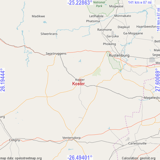
Koster GPS coordinates[2]
25° 51' 46.836" South, 26° 53' 51.216" East
| Map corner | latitude | longitude |
|---|---|---|
| Upper-left | -25.22863°, | 26.19444° |
| Center: | -25.86301°, | 26.89756° |
| Lower-right: | -26.49401°, | 27.60069° |
| Map W x H: | 140.7×140.7 km | = 87.4×87.4mi |
| max Lat: | -22.34881° ⇑14.7% North |
| Koster: | -25.86301° |
| min Lat: | ⇓85.3% South -34.66739° |
| min Long | Koster | max Long |
| 16.8697° | 26.89756° | 32.26762° |
| W 40.4%⇐ | ⇒59.6% E |
Elevation
Elevation of Koster is 1620 m = 5315 ft, and this is 650.4 m = 2134 ft above average elevation for this country.
| Max E: |
1873 m = 6145 ft | 9.7% |
| Koster | 1620 m 5315 ft | |
| Avg. | 969.6 m = 3181 ft | |
Min E: |
7 m = 23 ft | 90.3% |
See also: South Africa elevation on elevation.city.
Geographical zone
Koster is located in South temperate zone (between Tropic of Capricorn and the Antarctic Circle). Distance of this Southern Tropic circle is 269.8 km =167.6 mi to North.| Distance of | km | miles | from Koster |
|---|---|---|---|
| Equator | 2875.7 | 1786.9 | to North |
| Tropic Capricorn | 269.8 | 167.6 | to North |
| Antarctic Circle | 4525.5 | 2812 | to South |
| South Pole | 7131.4 | 4431.2 | to South |


Nearby cities:
15 places around Koster: (largest is in red/bold)
• Brits
92 km =57.2 mi,  73°
73°
• Carletonville
74.6 km =46.4 mi,  137°
137°
• Fochville
91.5 km =56.9 mi, 139°
• Krugersdorp
91.2 km =56.7 mi,  105°
105°
• Lichtenburg
80.4 km =50 mi,  246°
246°
• Maile
60.6 km =37.7 mi,  39°
39°
• Mogwase
72.5 km =45 mi,  26°
26°
• Muldersdriseloop
96 km =59.7 mi,  101°
101°
• Potchefstroom
97 km =60.3 mi,  167°
167°
• Randfontein
88 km =54.7 mi, 113°
• Roodepoort
103 km =64 mi, 108°
• Rustenburg
40.8 km =25.4 mi,  57°
57°
• Ventersdorp
50.7 km =31.5 mi,  188°
188°
• Westonaria
90.5 km =56.2 mi,  124°
124°
• Zeerust
90 km =55.9 mi,  293°
293°
Sources, notices
• [Note1] Compared only with cities in South Africa existing in our database
• [Src1] Map data: © OpenStreetMap contributors (CC-BY-SA)
• [Src2] Other city data from geonames.org with taken over terms of usage.
• [Src3] Geographical zone / Annual Mean Temperature by Robert A. Rohde @ Wikipedia
