Zorkot geodata
Zorkot (Khowst) is a seat of a second-order administrative division; located in Afghanistan in Asia/Kabul (GMT+4.5) time zone. In our database, there are 93 cities with bigger population. Compared to other cities in Afghanistan, 73.6% of cities are located further ↑North; 78.1% of cities are located further ←West and 67.8% of cities have lower elevation than Zorkot. Note1


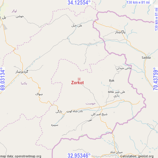
Zorkot GPS coordinates[2]
33° 32' 29.364" North, 69° 44' 4.056" East
| Map corner | latitude | longitude |
|---|---|---|
| Upper-left | 34.12554°, | 69.03134° |
| Center: | 33.54149°, | 69.73446° |
| Lower-right: | 32.95346°, | 70.43759° |
| Map W x H: | 130.3×130.3 km | = 81×81mi |
| max Lat: | 38.4435° ⇑73.6% North |
| Zorkot: | 33.54149° |
| min Lat: | ⇓26.4% South 30.15° |
| min Long | Zorkot | max Long |
| 61.06667° | 69.73446° | 72.318° |
| W 78.1%⇐ | ⇒21.9% E |
Elevation
Elevation of Zorkot is 1845 m = 6053 ft, and this is 426.6 m = 1400 ft above average elevation for this country.
| Max E: |
3068 m = 10066 ft | 32.2% |
| Zorkot | 1845 m 6053 ft | |
| Avg. | 1418.4 m = 4654 ft | |
Min E: |
254 m = 833 ft | 67.8% |
See also: Afghanistan elevation on elevation.city.
Geographical zone
Zorkot is located in North temperate zone (between Tropic of Cancer and the Arctic Circle). Distance of this Northern Tropic circle is 1123.5 km =698.1 mi to South.| Distance of | km | miles | from Zorkot |
|---|---|---|---|
| North Pole | 6277.6 | 3900.7 | to North |
| Arctic Circle | 3671.7 | 2281.5 | to North |
| Tropic Cancer | 1123.5 | 698.1 | to South |
| Equator | 3729.5 | 2317.4 | to South |


Nearby cities:
15 places around Zorkot: (largest is in red/bold)
• Dwah Manḏay
32 km =19.9 mi,  205°
205°
• Gardez
47.5 km =29.5 mi,  277°
277°
• Khulbisāt
25.7 km =16 mi,  101°
101°
• Khōst
28.3 km =17.6 mi,  142°
142°
• Maīdān Khūlah
12.7 km =7.9 mi,  19°
19°
• Salām Khēl
40.1 km =24.9 mi,  290°
290°
• Shaykh Amīr Kêlay
32.7 km =20.3 mi,  149°
149°
• Shwāk
35.7 km =22.2 mi,  248°
248°
• Spērah
42.9 km =26.7 mi, 208°
• Tsamkanī
30.1 km =18.7 mi,  14°
14°
• Tsapêraī
36.4 km =22.6 mi,  28°
28°
• Wulêswālī Sayyid Karam
37.7 km =23.4 mi,  296°
296°
• Zerok-Alakadari
57.9 km =36 mi,  222°
222°
• ‘Alī Khēl
44.6 km =27.7 mi,  358°
358°
• ‘Alī Shēr ‘Alāqahdārī
33 km =20.5 mi,  110°
110°
Sources, notices
• [Note1] Compared only with cities in Afghanistan existing in our database
• [Src1] Map data: © OpenStreetMap contributors (CC-BY-SA)
• [Src2] Other city data from geonames.org with taken over terms of usage.
• [Src3] Geographical zone / Annual Mean Temperature by Robert A. Rohde @ Wikipedia
