Gardez geodata
Gardez (Paktia) is a seat of a first-order administrative division; located in Afghanistan in Asia/Kabul (GMT+4.5) time zone. With population of 103,601 people, there are 9 cities with bigger population in this country. Compared to other cities in Afghanistan, 72.7% of cities are located further ↑North; 65.9% of cities are located further ←West and 88.1% of cities have lower elevation than Gardez. Note1


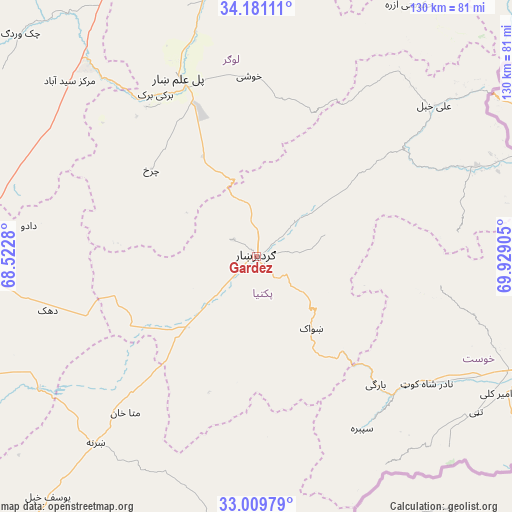
Gardez GPS coordinates[2]
33° 35' 50.784" North, 69° 13' 33.312" East
| Map corner | latitude | longitude |
|---|---|---|
| Upper-left | 34.18111°, | 68.5228° |
| Center: | 33.59744°, | 69.22592° |
| Lower-right: | 33.00979°, | 69.92905° |
| Map W x H: | 130.2×130.2 km | = 80.9×80.9mi |
| max Lat: | 38.4435° ⇑72.7% North |
| Gardez: | 33.59744° |
| min Lat: | ⇓27.3% South 30.15° |
| min Long | Gardez | max Long |
| 61.06667° | 69.22592° | 72.318° |
| W 65.9%⇐ | ⇒34.1% E |
Elevation
Elevation of Gardez is 2308 m = 7572 ft, and this is 889.6 m = 2919 ft above average elevation for this country.
| Max E: |
3068 m = 10066 ft | 11.9% |
| Gardez | 2308 m 7572 ft | |
| Avg. | 1418.4 m = 4654 ft | |
Min E: |
254 m = 833 ft | 88.1% |
See also: Gardez elevation on elevation.city.
Geographical zone
Gardez is located in North temperate zone (between Tropic of Cancer and the Arctic Circle). Distance of this Northern Tropic circle is 1129.8 km =702 mi to South.| Distance of | km | miles | from Gardez |
|---|---|---|---|
| North Pole | 6271.4 | 3896.9 | to North |
| Arctic Circle | 3665.5 | 2277.6 | to North |
| Tropic Cancer | 1129.8 | 702 | to South |
| Equator | 3735.7 | 2321.3 | to South |


Nearby cities:
15 places around Gardez: (largest is in red/bold)
• Baraki Barak
48.4 km =30.1 mi,  328°
328°
• Charkh
34.7 km =21.6 mi,  309°
309°
• Dwah Manḏay
48.4 km =30.1 mi,  136°
136°
• Khōshī
44.7 km =27.8 mi,  358°
358°
• Maīdān Khūlah
51.7 km =32.1 mi,  83°
83°
• Mutā Khān
51.9 km =32.2 mi,  220°
220°
• Nīkêh
45.6 km =28.3 mi,  174°
174°
• Pul-e ‘Alam
48.1 km =29.9 mi,  337°
337°
• Salām Khēl
12.6 km =7.8 mi,  49°
49°
• Shwāk
23.8 km =14.8 mi, 144°
• Spērah
51.5 km =32 mi,  148°
148°
• Wulêswālī Sayyid Karam
16.8 km =10.4 mi, 51°
• Zerok-Alakadari
49.5 km =30.8 mi, 170°
• Zorkot
47.5 km =29.5 mi,  97°
97°
• Zurmat
25.5 km =15.8 mi,  225°
225°
Sources, notices
• [Note1] Compared only with cities in Afghanistan existing in our database
• [Src1] Map data: © OpenStreetMap contributors (CC-BY-SA)
• [Src2] Other city data from geonames.org with taken over terms of usage.
• [Src3] Geographical zone / Annual Mean Temperature by Robert A. Rohde @ Wikipedia
