Federal geodata
Federal (Entre Rios) is a seat of a second-order administrative division; located in Argentina in America/Argentina/Cordoba (GMT-3) time zone. With population of 16,333 people, there are 211 cities with bigger population in this country. Compared to other cities in Argentina, 60.2% of cities are located further ↓South; 78.9% of cities are located further ←West and 76.5% of cities have higher elevation than Federal. Note1


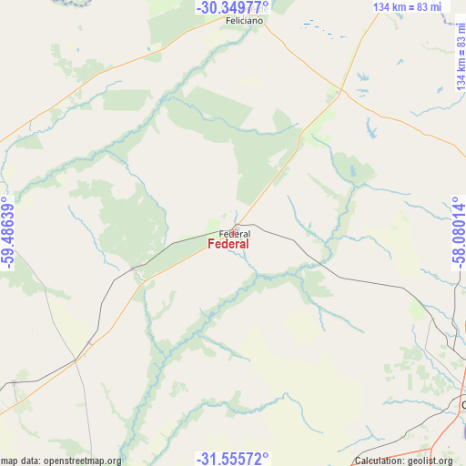
Federal GPS coordinates[2]
30° 57' 16.74" South, 58° 46' 59.736" West
| Map corner | latitude | longitude |
|---|---|---|
| Upper-left | -30.34977°, | -59.48639° |
| Center: | -30.95465°, | -58.78326° |
| Lower-right: | -31.55572°, | -58.08014° |
| Map W x H: | 134.1×134.1 km | = 83.3×83.3mi |
| max Lat: | -21.94467° ⇑39.8% North |
| Federal: | -30.95465° |
| min Lat: | ⇓60.2% South -54.81084° |
| min Long | Federal | max Long |
| -72.88605° | -58.78326° | -53.64581° |
| W 78.9%⇐ | ⇒21.1% E |
Elevation
Elevation of Federal is 67 m = 220 ft, and this is 282.3 m = 926 ft below average elevation for this country.
| Max E: |
4040 m = 13255 ft | 76.5% |
| Avg. | 349.3 m = 1146 ft | |
| Federal | 67 m = 220 ft | |
Min E: |
-2 m = -7 ft | 23.5% |
See also: Argentina elevation on elevation.city.
Geographical zone
Federal is located in South temperate zone (between Tropic of Capricorn and the Antarctic Circle). Distance of this Southern Tropic circle is 835.9 km =519.4 mi to North.| Distance of | km | miles | from Federal |
|---|---|---|---|
| Equator | 3441.8 | 2138.6 | to North |
| Tropic Capricorn | 835.9 | 519.4 | to North |
| Antarctic Circle | 3959.3 | 2460.2 | to South |
| South Pole | 6565.2 | 4079.4 | to South |


Nearby cities:
15 places around Federal: (largest is in red/bold)
• Bovril
76.4 km =47.5 mi,  235°
235°
• Chajarí
80 km =49.7 mi,  73°
73°
• Conscripto Bernardi
30.5 km =19 mi,  250°
250°
• Federación
84.4 km =52.4 mi,  93°
93°
• General Campos
72.7 km =45.2 mi,  150°
150°
• La Criolla
73.4 km =45.6 mi,  118°
118°
• La Paz
85.6 km =53.2 mi,  286°
286°
• Los Charrúas
61.8 km =38.4 mi,  113°
113°
• Los Conquistadores
50.5 km =31.4 mi,  36°
36°
• San Gustavo
65.7 km =40.8 mi,  296°
296°
• San José de Feliciano
63.5 km =39.5 mi,  2°
2°
• San Salvador
79.1 km =49.2 mi,  160°
160°
• Santa Ana
81.5 km =50.6 mi, 85°
• Sauce de Luna
52.1 km =32.4 mi,  232°
232°
• Villa del Rosario
85 km =52.8 mi,  77°
77°
Sources, notices
• [Note1] Compared only with cities in Argentina existing in our database
• [Src1] Map data: © OpenStreetMap contributors (CC-BY-SA)
• [Src2] Other city data from geonames.org with taken over terms of usage.
• [Src3] Geographical zone / Annual Mean Temperature by Robert A. Rohde @ Wikipedia
