Azul geodata
Azul (Buenos Aires) is a seat of a second-order administrative division; located in Argentina in America/Argentina/Buenos_Aires (GMT-3) time zone. With population of 53,941 people, there are 80 cities with bigger population in this country. Compared to other cities in Argentina, 84.6% of cities are located further ↑North; 69% of cities are located further ←West and 50.6% of cities have higher elevation than Azul. Note1


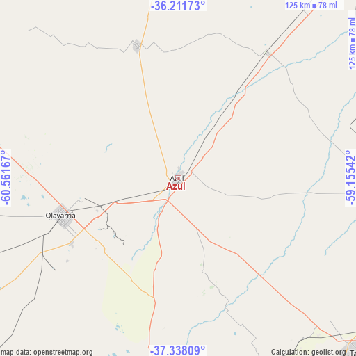
Azul GPS coordinates[2]
36° 46' 37.128" South, 59° 51' 30.744" West
| Map corner | latitude | longitude |
|---|---|---|
| Upper-left | -36.21173°, | -60.56167° |
| Center: | -36.77698°, | -59.85854° |
| Lower-right: | -37.33809°, | -59.15542° |
| Map W x H: | 125.2×125.2 km | = 77.8×77.8mi |
| max Lat: | -21.94467° ⇑84.6% North |
| Azul: | -36.77698° |
| min Lat: | ⇓15.4% South -54.81084° |
| min Long | Azul | max Long |
| -72.88605° | -59.85854° | -53.64581° |
| W 69%⇐ | ⇒31% E |
Elevation
Elevation of Azul is 141 m = 463 ft, and this is 208.3 m = 683 ft below average elevation for this country.
| Max E: |
4040 m = 13255 ft | 50.6% |
| Avg. | 349.3 m = 1146 ft | |
| Azul | 141 m = 463 ft | |
Min E: |
-2 m = -7 ft | 49.4% |
See also: Azul elevation on elevation.city.
Geographical zone
Azul is located in South temperate zone (between Tropic of Capricorn and the Antarctic Circle). Distance of this Southern Tropic circle is 1483.3 km =921.7 mi to North.| Distance of | km | miles | from Azul |
|---|---|---|---|
| Equator | 4089.2 | 2540.9 | to North |
| Tropic Capricorn | 1483.3 | 921.7 | to North |
| Antarctic Circle | 3312 | 2058 | to South |
| South Pole | 5917.8 | 3677.1 | to South |


Nearby cities:
15 places around Azul: (largest is in red/bold)
• Ayacucho
128.8 km =80 mi,  108°
108°
• Benito Juárez
99.6 km =61.9 mi,  177°
177°
• General Alvear
85.2 km =52.9 mi,  350°
350°
• General Belgrano
165.9 km =103.1 mi,  47°
47°
• General La Madrid
135.2 km =84 mi,  247°
247°
• Laprida
119.3 km =74.1 mi,  224°
224°
• Las Flores
108.7 km =67.5 mi,  38°
38°
• Olavarría
43.3 km =26.9 mi, 252°
• Rauch
68.5 km =42.6 mi,  89°
89°
• Roque Pérez
160.4 km =99.7 mi,  17°
17°
• Saladillo
127 km =78.9 mi,  3°
3°
• San Carlos de Bolívar
127.7 km =79.3 mi,  298°
298°
• Tandil
88.4 km =54.9 mi,  133°
133°
• Tapalqué
49.3 km =30.6 mi,  342°
342°
• Veinticinco de Mayo
152.2 km =94.6 mi, 349°
Sources, notices
• [Note1] Compared only with cities in Argentina existing in our database
• [Src1] Map data: © OpenStreetMap contributors (CC-BY-SA)
• [Src2] Other city data from geonames.org with taken over terms of usage.
• [Src3] Geographical zone / Annual Mean Temperature by Robert A. Rohde @ Wikipedia
