Ulapes geodata
Ulapes (La Rioja) is a seat of a second-order administrative division; located in Argentina in America/Argentina/La_Rioja (GMT-3) time zone. In our database, there are 785 cities with bigger population. Compared to other cities in Argentina, 52.8% of cities are located further ↓South; 83.6% of cities are located further →East and 73.8% of cities have lower elevation than Ulapes. Note1


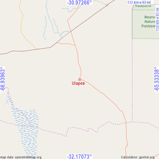
Ulapes GPS coordinates[2]
31° 34' 25.032" South, 66° 14' 11.4" West
| Map corner | latitude | longitude |
|---|---|---|
| Upper-left | -30.97266°, | -66.93963° |
| Center: | -31.57362°, | -66.2365° |
| Lower-right: | -32.17073°, | -65.53338° |
| Map W x H: | 133.2×133.2 km | = 82.8×82.8mi |
| max Lat: | -21.94467° ⇑47.2% North |
| Ulapes: | -31.57362° |
| min Lat: | ⇓52.8% South -54.81084° |
| min Long | Ulapes | max Long |
| -72.88605° | -66.2365° | -53.64581° |
| W 16.4%⇐ | ⇒83.6% E |
Elevation
Elevation of Ulapes is 411 m = 1348 ft, and this is 61.7 m = 202 ft above average elevation for this country.
| Max E: |
4040 m = 13255 ft | 26.2% |
| Ulapes | 411 m 1348 ft | |
| Avg. | 349.3 m = 1146 ft | |
Min E: |
-2 m = -7 ft | 73.8% |
See also: Argentina elevation on elevation.city.
Geographical zone
Ulapes is located in South temperate zone (between Tropic of Capricorn and the Antarctic Circle). Distance of this Southern Tropic circle is 904.7 km =562.2 mi to North.| Distance of | km | miles | from Ulapes |
|---|---|---|---|
| Equator | 3510.7 | 2181.4 | to North |
| Tropic Capricorn | 904.7 | 562.2 | to North |
| Antarctic Circle | 3890.5 | 2417.4 | to South |
| South Pole | 6496.4 | 4036.7 | to South |


Nearby cities:
15 places around Ulapes: (largest is in red/bold)
• Candelaria
66.7 km =41.4 mi,  144°
144°
• Castro Barros
120.7 km =75 mi,  23°
23°
• Chepes
42.1 km =26.2 mi,  307°
307°
• Libertador General San Martín
107 km =66.5 mi,  150°
150°
• Luján
92.6 km =57.5 mi,  162°
162°
• Malanzán
92.6 km =57.5 mi,  337°
337°
• Milagro
67 km =41.6 mi, 20°
• Mina Clavero
117.6 km =73.1 mi,  98°
98°
• Olta
104.8 km =65.1 mi,  358°
358°
• Salsacate
112.4 km =69.8 mi,  75°
75°
• San Carlos
116.3 km =72.3 mi,  67°
67°
• San Francisco del Monte de Oro
114.4 km =71.1 mi,  174°
174°
• Villa Cura Brochero
116.3 km =72.3 mi, 97°
• Villa Dolores
107.3 km =66.7 mi,  112°
112°
• Villa Las Rosas
119.4 km =74.2 mi, 110°
Sources, notices
• [Note1] Compared only with cities in Argentina existing in our database
• [Src1] Map data: © OpenStreetMap contributors (CC-BY-SA)
• [Src2] Other city data from geonames.org with taken over terms of usage.
• [Src3] Geographical zone / Annual Mean Temperature by Robert A. Rohde @ Wikipedia
