Lake Cargelligo geodata
Lake Cargelligo (New South Wales) is a populated place; located in Australia in Australia/Sydney (GMT+11) time zone. With population of 1,445 people, there are 3324 cities with bigger population in this country. Compared to other cities in Australia, 55.4% of cities are located further ↓South; 55.8% of cities are located further →East and 79.1% of cities have lower elevation than Lake Cargelligo. Note1


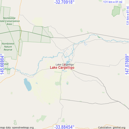
Lake Cargelligo GPS coordinates[2]
33° 17' 55.824" South, 146° 22' 22.656" East
| Map corner | latitude | longitude |
|---|---|---|
| Upper-left | -32.70918°, | 145.66984° |
| Center: | -33.29884°, | 146.37296° |
| Lower-right: | -33.88454°, | 147.07609° |
| Map W x H: | 130.7×130.7 km | = 81.2×81.2mi |
| max Lat: | -10.58257° ⇑44.6% North |
| Lake Cargelligo: | -33.29884° |
| min Lat: | ⇓55.4% South -43.31423° |
| min Long | Lake Cargelligo | max Long |
| 113.53327° | 146.37296° | 153.61246° |
| W 44.2%⇐ | ⇒55.8% E |
Elevation
Elevation of Lake Cargelligo is 168 m = 551 ft, and this is 46 m = 151 ft above average elevation for this country.
| Max E: |
1715 m = 5627 ft | 20.9% |
| Lake Cargelligo | 168 m 551 ft | |
| Avg. | 122 m = 400 ft | |
Min E: |
-2 m = -7 ft | 79.1% |
See also: Australia elevation on elevation.city.
Geographical zone
Lake Cargelligo is located in South temperate zone (between Tropic of Capricorn and the Antarctic Circle). Distance of this Southern Tropic circle is 1096.6 km =681.4 mi to North.| Distance of | km | miles | from Lake Cargelligo |
|---|---|---|---|
| Equator | 3702.5 | 2300.6 | to North |
| Tropic Capricorn | 1096.6 | 681.4 | to North |
| Antarctic Circle | 3698.7 | 2298.3 | to South |
| South Pole | 6304.6 | 3917.5 | to South |


Nearby cities:
15 places around Lake Cargelligo: (largest is in red/bold)
• Ardlethan
127.4 km =79.2 mi,  157°
157°
• Barellan
111.2 km =69.1 mi,  170°
170°
• Bilbul
110.3 km =68.5 mi,  191°
191°
• Condobolin
76.1 km =47.3 mi,  72°
72°
• Griffith
114 km =70.8 mi,  195°
195°
• Hanwood
118.8 km =73.8 mi, 194°
• Hillston
80.4 km =50 mi,  255°
255°
• Lake Wyangan
108.7 km =67.5 mi, 197°
• Tharbogang
113.1 km =70.3 mi, 198°
• Trundle
131.3 km =81.6 mi, 71°
• Ungarie
67.6 km =42 mi,  124°
124°
• West Wyalong
103.7 km =64.4 mi,  132°
132°
• Wyalong
106.5 km =66.2 mi, 130°
• Yenda
106.4 km =66.1 mi, 188°
• Yoogali
114.4 km =71.1 mi, 193°
Sources, notices
• [Note1] Compared only with cities in Australia existing in our database
• [Src1] Map data: © OpenStreetMap contributors (CC-BY-SA)
• [Src2] Other city data from geonames.org with taken over terms of usage.
• [Src3] Geographical zone / Annual Mean Temperature by Robert A. Rohde @ Wikipedia
