Blackbutt geodata
Blackbutt (Queensland) is a populated place; located in Australia in Australia/Brisbane (GMT+10) time zone. With population of 805 people, there are 4135 cities with bigger population in this country. Compared to other cities in Australia, 85.8% of cities are located further ↓South; 83% of cities are located further ←West and 91.9% of cities have lower elevation than Blackbutt. Note1


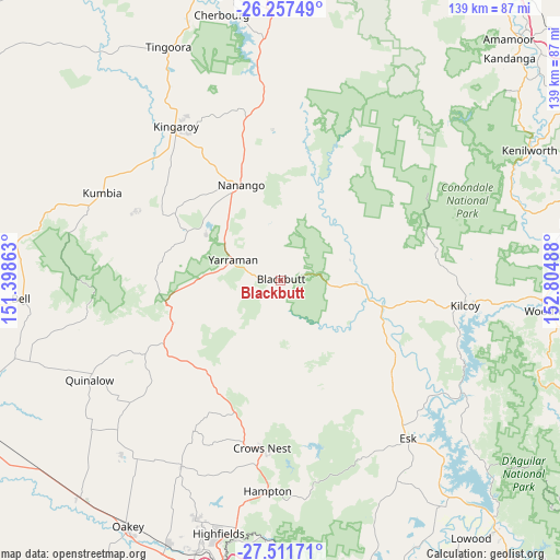
Blackbutt GPS coordinates[2]
26° 53' 10.824" South, 152° 6' 6.3" East
| Map corner | latitude | longitude |
|---|---|---|
| Upper-left | -26.25749°, | 151.39863° |
| Center: | -26.88634°, | 152.10175° |
| Lower-right: | -27.51171°, | 152.80488° |
| Map W x H: | 139.5×139.5 km | = 86.7×86.7mi |
| max Lat: | -10.58257° ⇑14.2% North |
| Blackbutt: | -26.88634° |
| min Lat: | ⇓85.8% South -43.31423° |
| min Long | Blackbutt | max Long |
| 113.53327° | 152.10175° | 153.61246° |
| W 83%⇐ | ⇒17% E |
Elevation
Elevation of Blackbutt is 438 m = 1437 ft, and this is 316 m = 1037 ft above average elevation for this country.
| Max E: |
1715 m = 5627 ft | 8.1% |
| Blackbutt | 438 m 1437 ft | |
| Avg. | 122 m = 400 ft | |
Min E: |
-2 m = -7 ft | 91.9% |
See also: Australia elevation on elevation.city.
Geographical zone
Blackbutt is located in South temperate zone (between Tropic of Capricorn and the Antarctic Circle). Distance of this Southern Tropic circle is 383.6 km =238.4 mi to North.| Distance of | km | miles | from Blackbutt |
|---|---|---|---|
| Equator | 2989.5 | 1857.6 | to North |
| Tropic Capricorn | 383.6 | 238.4 | to North |
| Antarctic Circle | 4411.7 | 2741.3 | to South |
| South Pole | 7017.6 | 4360.5 | to South |


Nearby cities:
15 places around Blackbutt: (largest is in red/bold)
• Booie
42 km =26.1 mi,  337°
337°
• Cabarlah
61.6 km =38.3 mi,  189°
189°
• Crows Nest
41.8 km =26 mi, 186°
• Esk
50.4 km =31.3 mi,  141°
141°
• Goombungee
53 km =32.9 mi,  207°
207°
• Kilcoy
46.4 km =28.8 mi,  97°
97°
• Kingaroy
46.6 km =29 mi,  325°
325°
• Kleinton
62.6 km =38.9 mi, 193°
• Nanango
25.8 km =16 mi, 337°
• Sandy Creek
53.3 km =33.1 mi,  85°
85°
• South Nanango
20.2 km =12.6 mi,  318°
318°
• Taabinga
43 km =26.7 mi, 321°
• Toogoolawah
35.2 km =21.9 mi,  129°
129°
• Wattle Camp
49.7 km =30.9 mi, 343°
• Yarraman
12.9 km =8 mi,  292°
292°
Sources, notices
• [Note1] Compared only with cities in Australia existing in our database
• [Src1] Map data: © OpenStreetMap contributors (CC-BY-SA)
• [Src2] Other city data from geonames.org with taken over terms of usage.
• [Src3] Geographical zone / Annual Mean Temperature by Robert A. Rohde @ Wikipedia
