South Nanango geodata
South Nanango (Queensland) is a populated place; located in Australia in Australia/Brisbane (GMT+10) time zone. With population of 834 people, there are 4087 cities with bigger population in this country. Compared to other cities in Australia, 86.3% of cities are located further ↓South; 82.4% of cities are located further ←West and 92% of cities have lower elevation than South Nanango. Note1


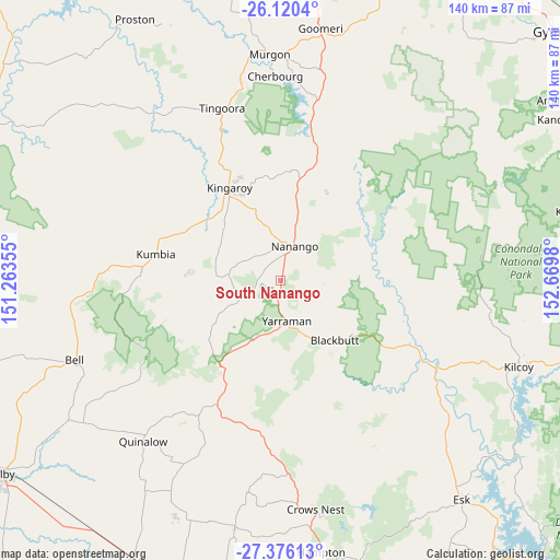
South Nanango GPS coordinates[2]
26° 45' 0" South, 151° 58' 0.012" East
| Map corner | latitude | longitude |
|---|---|---|
| Upper-left | -26.1204°, | 151.26355° |
| Center: | -26.75°, | 151.96667° |
| Lower-right: | -27.37613°, | 152.6698° |
| Map W x H: | 139.6×139.6 km | = 86.7×86.7mi |
| max Lat: | -10.58257° ⇑13.7% North |
| South Nanango: | -26.75° |
| min Lat: | ⇓86.3% South -43.31423° |
| min Long | South Nanango | max Long |
| 113.53327° | 151.96667° | 153.61246° |
| W 82.4%⇐ | ⇒17.6% E |
Elevation
Elevation of South Nanango is 441 m = 1447 ft, and this is 319 m = 1047 ft above average elevation for this country.
| Max E: |
1715 m = 5627 ft | 8% |
| South Nanango | 441 m 1447 ft | |
| Avg. | 122 m = 400 ft | |
Min E: |
-2 m = -7 ft | 92% |
See also: Australia elevation on elevation.city.
Geographical zone
South Nanango is located in South temperate zone (between Tropic of Capricorn and the Antarctic Circle). Distance of this Southern Tropic circle is 368.4 km =228.9 mi to North.| Distance of | km | miles | from South Nanango |
|---|---|---|---|
| Equator | 2974.3 | 1848.1 | to North |
| Tropic Capricorn | 368.4 | 228.9 | to North |
| Antarctic Circle | 4426.9 | 2750.7 | to South |
| South Pole | 7032.7 | 4369.9 | to South |


Nearby cities:
15 places around South Nanango: (largest is in red/bold)
• Blackbutt
20.2 km =12.6 mi,  138°
138°
• Booie
23.8 km =14.8 mi,  354°
354°
• Cherbourg
51 km =31.7 mi,  358°
358°
• Crows Nest
57.3 km =35.6 mi,  171°
171°
• Goombungee
63 km =39.1 mi,  190°
190°
• Goomeri
63.8 km =39.6 mi,  9°
9°
• Kilcoy
63.2 km =39.3 mi,  109°
109°
• Kingaroy
26.7 km =16.6 mi,  331°
331°
• Murgon
56.6 km =35.2 mi, 357°
• Nanango
9.4 km =5.8 mi,  21°
21°
• Taabinga
22.8 km =14.2 mi,  324°
324°
• Toogoolawah
55.2 km =34.3 mi,  132°
132°
• Wattle Camp
32.6 km =20.3 mi, 359°
• Wondai
49 km =30.4 mi, 348°
• Yarraman
10.3 km =6.4 mi, 171°
Sources, notices
• [Note1] Compared only with cities in Australia existing in our database
• [Src1] Map data: © OpenStreetMap contributors (CC-BY-SA)
• [Src2] Other city data from geonames.org with taken over terms of usage.
• [Src3] Geographical zone / Annual Mean Temperature by Robert A. Rohde @ Wikipedia
