Tom Price geodata
Tom Price (Western Australia) is a populated place; located in Australia in Australia/Perth (GMT+8) time zone. With population of 3,313 people, there are 2060 cities with bigger population in this country. Compared to other cities in Australia, 92.5% of cities are located further ↓South; 90.2% of cities are located further →East and 98.6% of cities have lower elevation than Tom Price. Note1


Tom Price GPS coordinates[2]
22° 41' 38.04" South, 117° 47' 35.16" East
| Map corner | latitude | longitude |
|---|---|---|
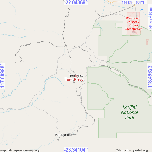
| Upper-left | -22.04369°, | 117.08998° |
| Center: | -22.6939°, | 117.7931° |
| Lower-right: | -23.34104°, | 118.49623° |
| Map W x H: | 144.3×144.3 km | = 89.7×89.7mi |
| max Lat: | -10.58257° ⇑7.5% North |
| Tom Price: | -22.6939° |
| min Lat: | ⇓92.5% South -43.31423° |
| min Long | Tom Price | max Long |
| 113.53327° | 117.7931° | 153.61246° |
| W 9.8%⇐ | ⇒90.2% E |
Elevation
Elevation of Tom Price is 729 m = 2392 ft, and this is 607 m = 1991 ft above average elevation for this country.
| Max E: |
1715 m = 5627 ft | 1.4% |
| Tom Price | 729 m 2392 ft | |
| Avg. | 122 m = 400 ft | |
Min E: |
-2 m = -7 ft | 98.6% |
See also: Australia elevation on elevation.city.
Geographical zone
Tom Price is located in South Torrid zone (between Equator and Tropic of Capricorn). Distance of this Southern Tropic circle is 82.6 km =51.3 mi to South.| Distance of | km | miles | from Tom Price |
|---|---|---|---|
| Equator | 2523.3 | 1567.9 | to North |
| Tropic Capricorn | 82.6 | 51.3 | to South |
| Antarctic Circle | 4877.8 | 3030.9 | to South |
| South Pole | 7483.7 | 4650.2 | to South |


Nearby cities:
15 places around Tom Price: (largest is in red/bold)
• Baynton
239 km =148.5 mi,  334°
334°
• Bulgarra
239.3 km =148.7 mi,  336°
336°
• Dampier
251.9 km =156.5 mi, 333°
• Karratha
238.5 km =148.2 mi, 335°
• Karratha Industrial Estate
234.1 km =145.5 mi, 335°
• Marble Bar
263 km =163.4 mi,  49°
49°
• Millars Well
239.3 km =148.7 mi, 335°
• Newman
212 km =131.7 mi,  110°
110°
• Nickol
239.9 km =149.1 mi, 334°
• Nullagine
254.7 km =158.3 mi,  69°
69°
• Pannawonica
191.6 km =119.1 mi,  307°
307°
• Paraburdoo
58.1 km =36.1 mi,  192°
192°
• Pegs Creek
239 km =148.5 mi, 335°
• Roebourne
223.9 km =139.1 mi, 342°
• Wickham
234.5 km =145.7 mi, 343°
Sources, notices
• [Note1] Compared only with cities in Australia existing in our database
• [Src1] Map data: © OpenStreetMap contributors (CC-BY-SA)
• [Src2] Other city data from geonames.org with taken over terms of usage.
• [Src3] Geographical zone / Annual Mean Temperature by Robert A. Rohde @ Wikipedia
