Dampier geodata
Dampier (Western Australia) is a populated place; located in Australia in Australia/Perth (GMT+8) time zone. With population of 1,172 people, there are 3618 cities with bigger population in this country. Compared to other cities in Australia, 94.2% of cities are located further ↓South; 90.9% of cities are located further →East and 61.1% of cities have higher elevation than Dampier. Note1


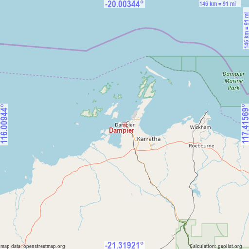
Dampier GPS coordinates[2]
20° 39' 45.9" South, 116° 42' 45.216" East
| Map corner | latitude | longitude |
|---|---|---|
| Upper-left | -20.00344°, | 116.00944° |
| Center: | -20.66275°, | 116.71256° |
| Lower-right: | -21.31921°, | 117.41569° |
| Map W x H: | 146.3×146.3 km | = 90.9×90.9mi |
| max Lat: | -10.58257° ⇑5.8% North |
| Dampier: | -20.66275° |
| min Lat: | ⇓94.2% South -43.31423° |
| min Long | Dampier | max Long |
| 113.53327° | 116.71256° | 153.61246° |
| W 9.1%⇐ | ⇒90.9% E |
Elevation
Elevation of Dampier is 31 m = 102 ft, and this is 91 m = 299 ft below average elevation for this country.
| Max E: |
1715 m = 5627 ft | 61.1% |
| Avg. | 122 m = 400 ft | |
| Dampier | 31 m = 102 ft | |
Min E: |
-2 m = -7 ft | 38.9% |
See also: Australia elevation on elevation.city.
Geographical zone
Dampier is located in South Torrid zone (between Equator and Tropic of Capricorn). Distance of this Southern Tropic circle is 308.4 km =191.6 mi to South.| Distance of | km | miles | from Dampier |
|---|---|---|---|
| Equator | 2297.5 | 1427.6 | to North |
| Tropic Capricorn | 308.4 | 191.6 | to South |
| Antarctic Circle | 5103.7 | 3171.3 | to South |
| South Pole | 7709.6 | 4790.5 | to South |


Nearby cities:
15 places around Dampier: (largest is in red/bold)
• Baynton
13.5 km =8.4 mi,  136°
136°
• Bulgarra
16.6 km =10.3 mi,  115°
115°
• Karratha
16.2 km =10.1 mi, 120°
• Karratha Industrial Estate
20.3 km =12.6 mi,  126°
126°
• Millars Well
14 km =8.7 mi, 128°
• Nickol
12.6 km =7.8 mi, 136°
• Onslow
198.2 km =123.2 mi,  236°
236°
• Pannawonica
115.9 km =72 mi,  200°
200°
• Paraburdoo
299.3 km =186 mi,  160°
160°
• Pegs Creek
15.1 km =9.4 mi, 123°
• Port Hedland
201.5 km =125.2 mi,  78°
78°
• Roebourne
46.7 km =29 mi,  105°
105°
• South Hedland
198.7 km =123.5 mi, 81°
• Tom Price
251.9 km =156.5 mi,  153°
153°
• Wickham
44.3 km =27.5 mi,  91°
91°
Sources, notices
• [Note1] Compared only with cities in Australia existing in our database
• [Src1] Map data: © OpenStreetMap contributors (CC-BY-SA)
• [Src2] Other city data from geonames.org with taken over terms of usage.
• [Src3] Geographical zone / Annual Mean Temperature by Robert A. Rohde @ Wikipedia
