Baynton geodata
Baynton (Western Australia) is a section of populated place; located in Australia in Australia/Perth (GMT+8) time zone. With population of 4,568 people, there are 1608 cities with bigger population in this country. Compared to other cities in Australia, 93.8% of cities are located further ↓South; 90.8% of cities are located further →East and 69.8% of cities have higher elevation than Baynton. Note1


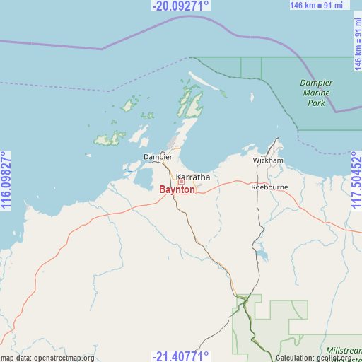
Baynton GPS coordinates[2]
20° 45' 5.904" South, 116° 48' 5.004" East
| Map corner | latitude | longitude |
|---|---|---|
| Upper-left | -20.09271°, | 116.09827° |
| Center: | -20.75164°, | 116.80139° |
| Lower-right: | -21.40771°, | 117.50452° |
| Map W x H: | 146.2×146.2 km | = 90.8×90.8mi |
| max Lat: | -10.58257° ⇑6.2% North |
| Baynton: | -20.75164° |
| min Lat: | ⇓93.8% South -43.31423° |
| min Long | Baynton | max Long |
| 113.53327° | 116.80139° | 153.61246° |
| W 9.2%⇐ | ⇒90.8% E |
Elevation
Elevation of Baynton is 23 m = 75 ft, and this is 99 m = 325 ft below average elevation for this country.
| Max E: |
1715 m = 5627 ft | 69.8% |
| Avg. | 122 m = 400 ft | |
| Baynton | 23 m = 75 ft | |
Min E: |
-2 m = -7 ft | 30.2% |
See also: Australia elevation on elevation.city.
Geographical zone
Baynton is located in South Torrid zone (between Equator and Tropic of Capricorn). Distance of this Southern Tropic circle is 298.6 km =185.5 mi to South.| Distance of | km | miles | from Baynton |
|---|---|---|---|
| Equator | 2307.4 | 1433.8 | to North |
| Tropic Capricorn | 298.6 | 185.5 | to South |
| Antarctic Circle | 5093.8 | 3165.1 | to South |
| South Pole | 7699.7 | 4784.4 | to South |


Nearby cities:
15 places around Baynton: (largest is in red/bold)
• Bulgarra
6.4 km =4 mi,  63°
63°
• Dampier
13.5 km =8.4 mi,  316°
316°
• Karratha
4.9 km =3 mi,  71°
71°
• Karratha Industrial Estate
7.4 km =4.6 mi,  107°
107°
• Millars Well
2 km =1.2 mi, 56°
• Nickol
0.9 km =0.6 mi, 317°
• Onslow
200.9 km =124.8 mi,  240°
240°
• Pannawonica
110.5 km =68.7 mi,  206°
206°
• Paraburdoo
287 km =178.3 mi,  161°
161°
• Pegs Creek
3.6 km =2.2 mi, 65°
• Port Hedland
194.6 km =120.9 mi,  75°
75°
• Roebourne
36 km =22.4 mi,  93°
93°
• South Hedland
191.2 km =118.8 mi, 78°
• Tom Price
239 km =148.5 mi,  154°
154°
• Wickham
36 km =22.4 mi, 76°
Sources, notices
• [Note1] Compared only with cities in Australia existing in our database
• [Src1] Map data: © OpenStreetMap contributors (CC-BY-SA)
• [Src2] Other city data from geonames.org with taken over terms of usage.
• [Src3] Geographical zone / Annual Mean Temperature by Robert A. Rohde @ Wikipedia
