Millars Well geodata
Millars Well (Western Australia) is a section of populated place; located in Australia in Australia/Perth (GMT+8) time zone. With population of 1,794 people, there are 3054 cities with bigger population in this country. Compared to other cities in Australia, 93.8% of cities are located further ↓South; 90.7% of cities are located further →East and 80.4% of cities have higher elevation than Millars Well. Note1


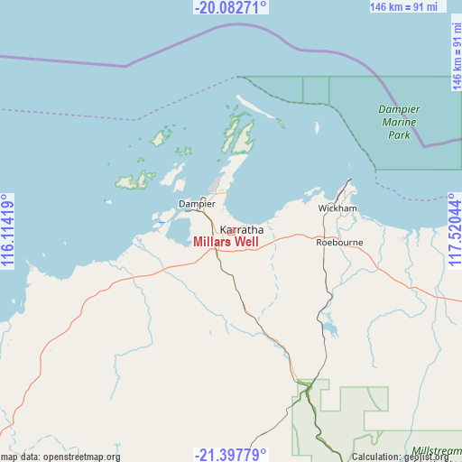
Millars Well GPS coordinates[2]
20° 44' 30.048" South, 116° 49' 2.316" East
| Map corner | latitude | longitude |
|---|---|---|
| Upper-left | -20.08271°, | 116.11419° |
| Center: | -20.74168°, | 116.81731° |
| Lower-right: | -21.39779°, | 117.52044° |
| Map W x H: | 146.2×146.2 km | = 90.8×90.8mi |
| max Lat: | -10.58257° ⇑6.2% North |
| Millars Well: | -20.74168° |
| min Lat: | ⇓93.8% South -43.31423° |
| min Long | Millars Well | max Long |
| 113.53327° | 116.81731° | 153.61246° |
| W 9.3%⇐ | ⇒90.7% E |
Elevation
Elevation of Millars Well is 15 m = 49 ft, and this is 107 m = 351 ft below average elevation for this country.
| Max E: |
1715 m = 5627 ft | 80.4% |
| Avg. | 122 m = 400 ft | |
| Millars Well | 15 m = 49 ft | |
Min E: |
-2 m = -7 ft | 19.6% |
See also: Australia elevation on elevation.city.
Geographical zone
Millars Well is located in South Torrid zone (between Equator and Tropic of Capricorn). Distance of this Southern Tropic circle is 299.7 km =186.2 mi to South.| Distance of | km | miles | from Millars Well |
|---|---|---|---|
| Equator | 2306.3 | 1433.1 | to North |
| Tropic Capricorn | 299.7 | 186.2 | to South |
| Antarctic Circle | 5094.9 | 3165.8 | to South |
| South Pole | 7700.8 | 4785.1 | to South |


Nearby cities:
15 places around Millars Well: (largest is in red/bold)
• Baynton
2 km =1.2 mi,  236°
236°
• Bulgarra
4.5 km =2.8 mi,  66°
66°
• Dampier
14 km =8.7 mi,  308°
308°
• Karratha
3 km =1.9 mi,  81°
81°
• Karratha Industrial Estate
6.4 km =4 mi,  121°
121°
• Nickol
2.3 km =1.4 mi,  259°
259°
• Onslow
202.9 km =126.1 mi, 240°
• Pannawonica
112.2 km =69.7 mi,  207°
207°
• Paraburdoo
287.6 km =178.7 mi,  162°
162°
• Pegs Creek
1.7 km =1.1 mi, 76°
• Port Hedland
192.7 km =119.7 mi, 75°
• Roebourne
34.4 km =21.4 mi,  95°
95°
• South Hedland
189.3 km =117.6 mi, 78°
• Tom Price
239.3 km =148.7 mi, 155°
• Wickham
34.2 km =21.3 mi, 77°
Sources, notices
• [Note1] Compared only with cities in Australia existing in our database
• [Src1] Map data: © OpenStreetMap contributors (CC-BY-SA)
• [Src2] Other city data from geonames.org with taken over terms of usage.
• [Src3] Geographical zone / Annual Mean Temperature by Robert A. Rohde @ Wikipedia
