Cable Beach geodata
Cable Beach (Western Australia) is a section of populated place; located in Australia in Australia/Perth (GMT+8) time zone. With population of 8,529 people, there are 757 cities with bigger population in this country. Compared to other cities in Australia, 96.1% of cities are located further ↓South; 88.9% of cities are located further →East and 68.6% of cities have higher elevation than Cable Beach. Note1


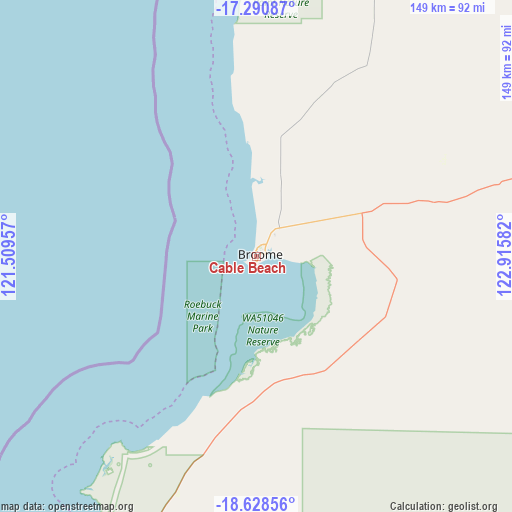
Cable Beach GPS coordinates[2]
17° 57' 39.528" South, 122° 12' 45.684" East
| Map corner | latitude | longitude |
|---|---|---|
| Upper-left | -17.29087°, | 121.50957° |
| Center: | -17.96098°, | 122.21269° |
| Lower-right: | -18.62856°, | 122.91582° |
| Map W x H: | 148.7×148.7 km | = 92.4×92.4mi |
| max Lat: | -10.58257° ⇑3.9% North |
| Cable Beach: | -17.96098° |
| min Lat: | ⇓96.1% South -43.31423° |
| min Long | Cable Beach | max Long |
| 113.53327° | 122.21269° | 153.61246° |
| W 11.1%⇐ | ⇒88.9% E |
Elevation
Elevation of Cable Beach is 24 m = 79 ft, and this is 98 m = 322 ft below average elevation for this country.
| Max E: |
1715 m = 5627 ft | 68.6% |
| Avg. | 122 m = 400 ft | |
| Cable Beach | 24 m = 79 ft | |
Min E: |
-2 m = -7 ft | 31.4% |
See also: Australia elevation on elevation.city.
Geographical zone
Cable Beach is located in South Torrid zone (between Equator and Tropic of Capricorn). Distance of this Southern Tropic circle is 608.8 km =378.3 mi to South.| Distance of | km | miles | from Cable Beach |
|---|---|---|---|
| Equator | 1997.1 | 1240.9 | to North |
| Tropic Capricorn | 608.8 | 378.3 | to South |
| Antarctic Circle | 5404.1 | 3358 | to South |
| South Pole | 8010 | 4977.2 | to South |


Nearby cities:
13 places around Cable Beach: (largest is in red/bold)
• Bilingurr
6 km =3.7 mi,  16°
16°
• Broome
2.9 km =1.8 mi,  77°
77°
• Camballin
209.2 km =130 mi,  91°
91°
• Dampier Peninsula
133.7 km =83.1 mi,  31°
31°
• Derby
166.9 km =103.7 mi,  64°
64°
• Djugun
1.8 km =1.1 mi, 64°
• Eighty Mile Beach
155.7 km =96.7 mi,  203°
203°
• Fitzroy Crossing
355.5 km =220.9 mi, 94°
• King Leopold Ranges
359.2 km =223.2 mi,  74°
74°
• Lagrange
92 km =57.2 mi,  209°
209°
• Roebuck
38.4 km =23.9 mi,  127°
127°
• St George Ranges
316 km =196.4 mi,  111°
111°
• Telfer
377.8 km =234.8 mi,  163°
163°
Sources, notices
• [Note1] Compared only with cities in Australia existing in our database
• [Src1] Map data: © OpenStreetMap contributors (CC-BY-SA)
• [Src2] Other city data from geonames.org with taken over terms of usage.
• [Src3] Geographical zone / Annual Mean Temperature by Robert A. Rohde @ Wikipedia
