St George Ranges geodata
St George Ranges (Western Australia) is a section of populated place; located in Australia in Australia/Perth (GMT+8) time zone. With population of 1,237 people, there are 3530 cities with bigger population in this country. Compared to other cities in Australia, 95.9% of cities are located further ↓South; 88.7% of cities are located further →East and 79.3% of cities have lower elevation than St George Ranges. Note1


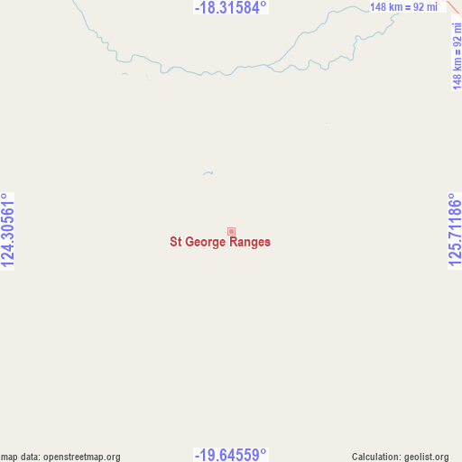
St George Ranges GPS coordinates[2]
18° 58' 55.344" South, 125° 0' 31.428" East
| Map corner | latitude | longitude |
|---|---|---|
| Upper-left | -18.31584°, | 124.30561° |
| Center: | -18.98204°, | 125.00873° |
| Lower-right: | -19.64559°, | 125.71186° |
| Map W x H: | 147.9×147.9 km | = 91.9×91.9mi |
| max Lat: | -10.58257° ⇑4.1% North |
| St George Ranges: | -18.98204° |
| min Lat: | ⇓95.9% South -43.31423° |
| min Long | St George Range | max Long |
| 113.53327° | 125.00873° | 153.61246° |
| W 11.3%⇐ | ⇒88.7% E |
Elevation
Elevation of St George Ranges is 171 m = 561 ft, and this is 49 m = 161 ft above average elevation for this country.
| Max E: |
1715 m = 5627 ft | 20.7% |
| St George Ranges | 171 m 561 ft | |
| Avg. | 122 m = 400 ft | |
Min E: |
-2 m = -7 ft | 79.3% |
See also: Australia elevation on elevation.city.
Geographical zone
St George Ranges is located in South Torrid zone (between Equator and Tropic of Capricorn). Distance of this Southern Tropic circle is 495.3 km =307.8 mi to South.| Distance of | km | miles | from St George Ranges |
|---|---|---|---|
| Equator | 2110.6 | 1311.5 | to North |
| Tropic Capricorn | 495.3 | 307.8 | to South |
| Antarctic Circle | 5290.6 | 3287.4 | to South |
| South Pole | 7896.5 | 4906.7 | to South |


Nearby cities:
14 places around St George Ranges: (largest is in red/bold)
• Bilingurr
316.5 km =196.7 mi,  292°
292°
• Broome
313.6 km =194.9 mi, 291°
• Cable Beach
316 km =196.4 mi, 291°
• Camballin
139.6 km =86.7 mi,  321°
321°
• Dampier Peninsula
321.4 km =199.7 mi, 315°
• Derby
236.9 km =147.2 mi, 322°
• Djugun
314.8 km =195.6 mi, 291°
• Eighty Mile Beach
357.9 km =222.4 mi,  265°
265°
• Fitzroy Crossing
105.2 km =65.4 mi,  33°
33°
• Halls Creek
292.4 km =181.7 mi,  73°
73°
• King Leopold Ranges
214.1 km =133 mi,  13°
13°
• Lagrange
340.9 km =211.8 mi,  275°
275°
• Roebuck
279.2 km =173.5 mi, 288°
• Telfer
307.8 km =191.3 mi,  216°
216°
Sources, notices
• [Note1] Compared only with cities in Australia existing in our database
• [Src1] Map data: © OpenStreetMap contributors (CC-BY-SA)
• [Src2] Other city data from geonames.org with taken over terms of usage.
• [Src3] Geographical zone / Annual Mean Temperature by Robert A. Rohde @ Wikipedia
