Lagrange geodata
Lagrange (Western Australia) is a populated place; located in Australia in Australia/Perth (GMT+8) time zone. With population of 708 people, there are 4313 cities with bigger population in this country. Compared to other cities in Australia, 95.9% of cities are located further ↓South; 89% of cities are located further →East and 76.1% of cities have higher elevation than Lagrange. Note1


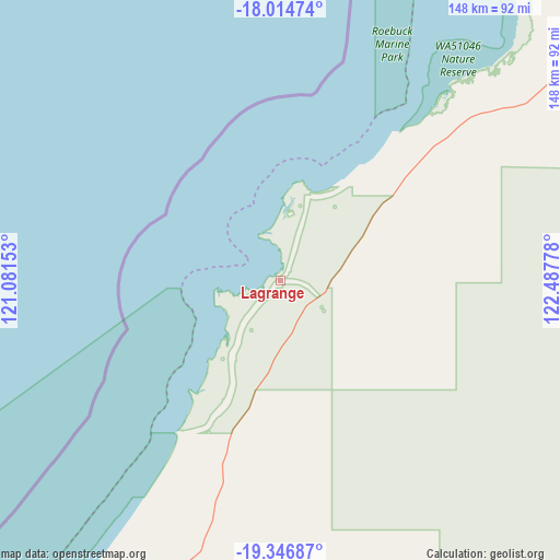
Lagrange GPS coordinates[2]
18° 40' 55.596" South, 121° 47' 4.74" East
| Map corner | latitude | longitude |
|---|---|---|
| Upper-left | -18.01474°, | 121.08153° |
| Center: | -18.68211°, | 121.78465° |
| Lower-right: | -19.34687°, | 122.48778° |
| Map W x H: | 148.1×148.1 km | = 92×92mi |
| max Lat: | -10.58257° ⇑4.1% North |
| Lagrange: | -18.68211° |
| min Lat: | ⇓95.9% South -43.31423° |
| min Long | Lagrange | max Long |
| 113.53327° | 121.78465° | 153.61246° |
| W 11%⇐ | ⇒89% E |
Elevation
Elevation of Lagrange is 18 m = 59 ft, and this is 104 m = 341 ft below average elevation for this country.
| Max E: |
1715 m = 5627 ft | 76.1% |
| Avg. | 122 m = 400 ft | |
| Lagrange | 18 m = 59 ft | |
Min E: |
-2 m = -7 ft | 23.9% |
See also: Australia elevation on elevation.city.
Geographical zone
Lagrange is located in South Torrid zone (between Equator and Tropic of Capricorn). Distance of this Southern Tropic circle is 528.7 km =328.5 mi to South.| Distance of | km | miles | from Lagrange |
|---|---|---|---|
| Equator | 2077.3 | 1290.8 | to North |
| Tropic Capricorn | 528.7 | 328.5 | to South |
| Antarctic Circle | 5323.9 | 3308.1 | to South |
| South Pole | 7929.8 | 4927.3 | to South |


Nearby cities:
15 places around Lagrange: (largest is in red/bold)
• Bilingurr
97.9 km =60.8 mi,  28°
28°
• Broome
94 km =58.4 mi, 30°
• Cable Beach
92 km =57.2 mi, 29°
• Camballin
265.1 km =164.7 mi,  73°
73°
• Dampier Peninsula
225.7 km =140.2 mi, 30°
• Derby
248.1 km =154.2 mi,  51°
51°
• Djugun
93.5 km =58.1 mi, 30°
• Eighty Mile Beach
64.7 km =40.2 mi,  196°
196°
• Marble Bar
349.3 km =217 mi,  217°
217°
• Nullagine
397 km =246.7 mi,  206°
206°
• Port Hedland
378.8 km =235.4 mi,  241°
241°
• Roebuck
94.5 km =58.7 mi, 53°
• South Hedland
384.8 km =239.1 mi, 240°
• St George Ranges
340.9 km =211.8 mi,  95°
95°
• Telfer
320.8 km =199.3 mi,  151°
151°
Sources, notices
• [Note1] Compared only with cities in Australia existing in our database
• [Src1] Map data: © OpenStreetMap contributors (CC-BY-SA)
• [Src2] Other city data from geonames.org with taken over terms of usage.
• [Src3] Geographical zone / Annual Mean Temperature by Robert A. Rohde @ Wikipedia
