Nanum geodata
Nanum (Queensland) is a populated place; located in Australia in Australia/Brisbane (GMT+10) time zone. With population of 1,123 people, there are 3670 cities with bigger population in this country. Compared to other cities in Australia, 98.5% of cities are located further ↓South; 75.1% of cities are located further →East and 83.5% of cities have higher elevation than Nanum. Note1


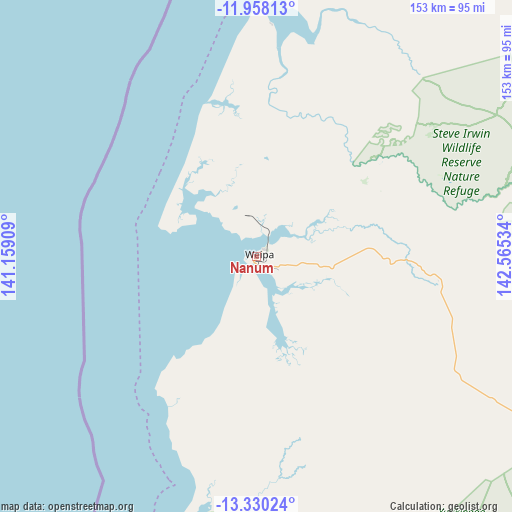
Nanum GPS coordinates[2]
12° 38' 42.396" South, 141° 51' 43.956" East
| Map corner | latitude | longitude |
|---|---|---|
| Upper-left | -11.95813°, | 141.15909° |
| Center: | -12.64511°, | 141.86221° |
| Lower-right: | -13.33024°, | 142.56534° |
| Map W x H: | 152.6×152.6 km | = 94.8×94.8mi |
| max Lat: | -10.58257° ⇑1.5% North |
| Nanum: | -12.64511° |
| min Lat: | ⇓98.5% South -43.31423° |
| min Long | Nanum | max Long |
| 113.53327° | 141.86221° | 153.61246° |
| W 24.9%⇐ | ⇒75.1% E |
Elevation
Elevation of Nanum is 13 m = 43 ft, and this is 109 m = 358 ft below average elevation for this country.
| Max E: |
1715 m = 5627 ft | 83.5% |
| Avg. | 122 m = 400 ft | |
| Nanum | 13 m = 43 ft | |
Min E: |
-2 m = -7 ft | 16.5% |
See also: Australia elevation on elevation.city.
Geographical zone
Nanum is located in South Torrid zone (between Equator and Tropic of Capricorn). Distance of this Southern Tropic circle is 1199.9 km =745.6 mi to South.| Distance of | km | miles | from Nanum |
|---|---|---|---|
| Equator | 1406 | 873.6 | to North |
| Tropic Capricorn | 1199.9 | 745.6 | to South |
| Antarctic Circle | 5995.2 | 3725.2 | to South |
| South Pole | 8601.1 | 5344.5 | to South |


Nearby cities:
13 places around Nanum: (largest is in red/bold)
• Aurukun
80.4 km =50 mi,  190°
190°
• Bamaga
203.2 km =126.3 mi,  16°
16°
• Horn
231.2 km =143.7 mi,  11°
11°
• Injinoo
181.9 km =113 mi, 13°
• Kowanyama
314.8 km =195.6 mi,  182°
182°
• Laura
407.2 km =253 mi,  141°
141°
• Lockhart River
161.4 km =100.3 mi,  95°
95°
• Mission River
11.7 km =7.3 mi,  61°
61°
• New Mapoon
205.7 km =127.8 mi, 16°
• Pormpuraaw
251.9 km =156.5 mi, 185°
• Thursday Island
232.6 km =144.5 mi, 9°
• Trunding
1.5 km =0.9 mi,  33°
33°
• Weipa
3 km =1.9 mi,  36°
36°
Sources, notices
• [Note1] Compared only with cities in Australia existing in our database
• [Src1] Map data: © OpenStreetMap contributors (CC-BY-SA)
• [Src2] Other city data from geonames.org with taken over terms of usage.
• [Src3] Geographical zone / Annual Mean Temperature by Robert A. Rohde @ Wikipedia
