Çinarlı geodata
Çinarlı (Qǝx) is a populated place; located in Azerbaijan in Asia/Baku (GMT+4) time zone. With population of 6,508 people, there are 99 cities with bigger population in this country. Compared to other cities in Azerbaijan, 95.7% of cities are located further ↓South; 63.8% of cities are located further →East and 81.1% of cities have lower elevation than Çinarlı. Note1


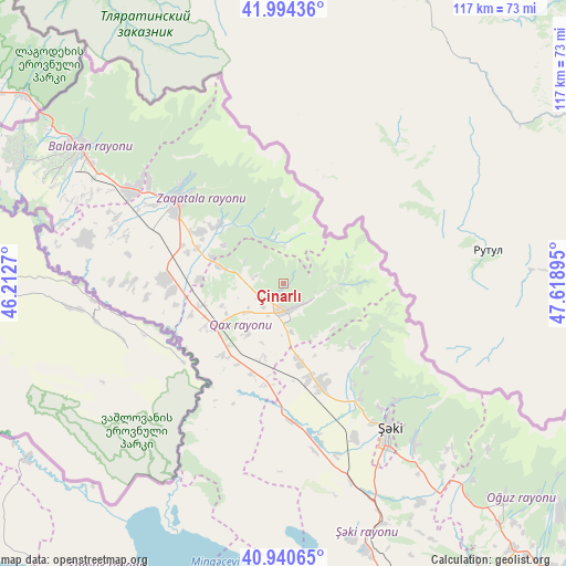
Çinarlı GPS coordinates[2]
41° 28' 10.74" North, 46° 54' 56.952" East
| Map corner | latitude | longitude |
|---|---|---|
| Upper-left | 41.99436°, | 46.2127° |
| Center: | 41.46965°, | 46.91582° |
| Lower-right: | 40.94065°, | 47.61895° |
| Map W x H: | 117.2×117.2 km | = 72.8×72.8mi |
| max Lat: | 41.75259° ⇑4.3% North |
| Çinarlı: | 41.46965° |
| min Lat: | ⇓95.7% South 38.45598° |
| min Long | Çinarlı | max Long |
| 44.84846° | 46.91582° | 50.84003° |
| W 36.2%⇐ | ⇒63.8% E |
Elevation
Elevation of Çinarlı is 795 m = 2608 ft, and this is 412 m = 1352 ft above average elevation for this country.
| Max E: |
2211 m = 7254 ft | 18.9% |
| Çinarlı | 795 m 2608 ft | |
| Avg. | 383 m = 1257 ft | |
Min E: |
-26 m = -85 ft | 81.1% |
See also: Azerbaijan elevation on elevation.city.
Geographical zone
Çinarlı is located in North temperate zone (between Tropic of Cancer and the Arctic Circle). Distance of this Northern Tropic circle is 2005.1 km =1245.9 mi to South.| Distance of | km | miles | from Çinarlı |
|---|---|---|---|
| North Pole | 5396.1 | 3353 | to North |
| Arctic Circle | 2790.2 | 1733.7 | to North |
| Tropic Cancer | 2005.1 | 1245.9 | to South |
| Equator | 4611 | 2865.1 | to South |


Nearby cities:
15 places around Çinarlı: (largest is in red/bold)
• Aliabad
23.5 km =14.6 mi,  273°
273°
• Baş Göynük
23 km =14.3 mi,  134°
134°
• Belokany
51.2 km =31.8 mi,  303°
303°
• Faldarlı
33.3 km =20.7 mi, 269°
• Mamrux
14.8 km =9.2 mi, 303°
• Mingelchaur
79.4 km =49.3 mi,  171°
171°
• Oğuz
63.8 km =39.6 mi, 133°
• Qabaqçöl
62.2 km =38.6 mi, 300°
• Qandax
31.2 km =19.4 mi, 271°
• Qax
5.7 km =3.5 mi,  176°
176°
• Qax İngiloy
5.4 km =3.4 mi,  159°
159°
• Qaxbaş
5.8 km =3.6 mi,  135°
135°
• Qırmızı Samux
74.1 km =46 mi,  217°
217°
• Sheki
37.5 km =23.3 mi,  145°
145°
• Zaqatala
28.9 km =18 mi,  308°
308°
Sources, notices
• [Note1] Compared only with cities in Azerbaijan existing in our database
• [Src1] Map data: © OpenStreetMap contributors (CC-BY-SA)
• [Src2] Other city data from geonames.org with taken over terms of usage.
• [Src3] Geographical zone / Annual Mean Temperature by Robert A. Rohde @ Wikipedia
