Aliabad geodata
Aliabad (Zaqatala) is a populated place; located in Azerbaijan in Asia/Baku (GMT+4) time zone. With population of 9,103 people, there are 78 cities with bigger population in this country. Compared to other cities in Azerbaijan, 96.8% of cities are located further ↓South; 71.4% of cities are located further →East and 56.2% of cities have lower elevation than Aliabad. Note1


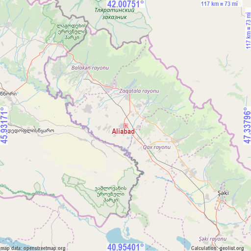
Aliabad GPS coordinates[2]
41° 28' 58.44" North, 46° 38' 5.388" East
| Map corner | latitude | longitude |
|---|---|---|
| Upper-left | 42.00751°, | 45.93171° |
| Center: | 41.4829°, | 46.63483° |
| Lower-right: | 40.95401°, | 47.33796° |
| Map W x H: | 117.1×117.1 km | = 72.8×72.8mi |
| max Lat: | 41.75259° ⇑3.2% North |
| Aliabad: | 41.4829° |
| min Lat: | ⇓96.8% South 38.45598° |
| min Long | Aliabad | max Long |
| 44.84846° | 46.63483° | 50.84003° |
| W 28.6%⇐ | ⇒71.4% E |
Elevation
Elevation of Aliabad is 262 m = 860 ft, and this is 121 m = 397 ft below average elevation for this country.
| Max E: |
2211 m = 7254 ft | 43.8% |
| Avg. | 383 m = 1257 ft | |
| Aliabad | 262 m = 860 ft | |
Min E: |
-26 m = -85 ft | 56.2% |
See also: Azerbaijan elevation on elevation.city.
Geographical zone
Aliabad is located in North temperate zone (between Tropic of Cancer and the Arctic Circle). Distance of this Northern Tropic circle is 2006.5 km =1246.8 mi to South.| Distance of | km | miles | from Aliabad |
|---|---|---|---|
| North Pole | 5394.6 | 3352 | to North |
| Arctic Circle | 2788.7 | 1732.8 | to North |
| Tropic Cancer | 2006.5 | 1246.8 | to South |
| Equator | 4612.5 | 2866.1 | to South |


Nearby cities:
15 places around Aliabad: (largest is in red/bold)
• Baş Göynük
43.6 km =27.1 mi,  113°
113°
• Belokany
33.1 km =20.6 mi,  324°
324°
• Faldarlı
10 km =6.2 mi,  260°
260°
• Mamrux
12.8 km =8 mi,  58°
58°
• Qabaqçöl
42.6 km =26.5 mi,  314°
314°
• Qandax
7.8 km =4.8 mi, 263°
• Qarayeri
81.9 km =50.9 mi,  199°
199°
• Qasım İsmayılov
80.9 km =50.3 mi, 202°
• Qax
24.9 km =15.5 mi, 106°
• Qax İngiloy
26.1 km =16.2 mi,  104°
104°
• Qaxbaş
28 km =17.4 mi, 101°
• Qırmızı Samux
64.1 km =39.8 mi, 199°
• Sheki
55.2 km =34.3 mi,  125°
125°
• Zaqatala
16.6 km =10.3 mi,  2°
2°
• Çinarlı
23.5 km =14.6 mi,  93°
93°
Sources, notices
• [Note1] Compared only with cities in Azerbaijan existing in our database
• [Src1] Map data: © OpenStreetMap contributors (CC-BY-SA)
• [Src2] Other city data from geonames.org with taken over terms of usage.
• [Src3] Geographical zone / Annual Mean Temperature by Robert A. Rohde @ Wikipedia
