Uyuni geodata
Uyuni (Potosí) is a populated place; located in Bolivia in America/La_Paz (GMT-4) time zone. With population of 10,293 people, there are 41 cities with bigger population in this country. Compared to other cities in Bolivia, 84.5% of cities are located further ↑North; 76.4% of cities are located further →East and 80.7% of cities have lower elevation than Uyuni. Note1


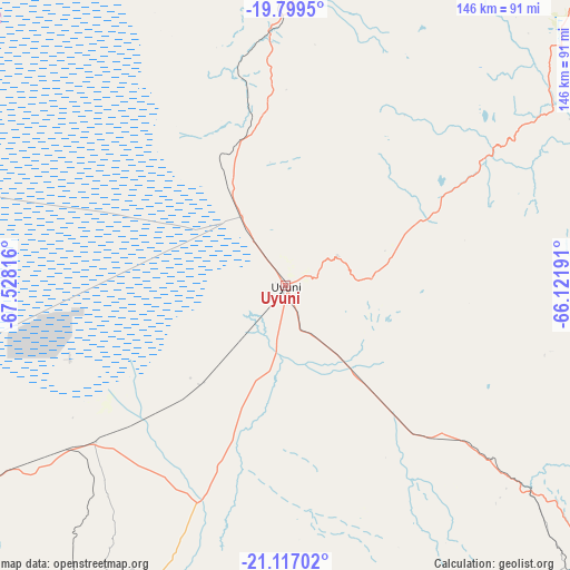
Uyuni GPS coordinates[2]
20° 27' 34.812" South, 66° 49' 30.108" West
| Map corner | latitude | longitude |
|---|---|---|
| Upper-left | -19.7995°, | -67.52816° |
| Center: | -20.45967°, | -66.82503° |
| Lower-right: | -21.11702°, | -66.12191° |
| Map W x H: | 146.5×146.5 km | = 91×91mi |
| max Lat: | -9.71828° ⇑84.5% North |
| Uyuni: | -20.45967° |
| min Lat: | ⇓15.5% South -22.73206° |
| min Long | Uyuni | max Long |
| -69.14843° | -66.82503° | -57.76667° |
| W 23.6%⇐ | ⇒76.4% E |
Elevation
Elevation of Uyuni is 3673 m = 12051 ft, and this is 1661.7 m = 5452 ft above average elevation for this country.
| Max E: |
4732 m = 15525 ft | 19.3% |
| Uyuni | 3673 m 12051 ft | |
| Avg. | 2011.3 m = 6599 ft | |
Min E: |
92 m = 302 ft | 80.7% |
See also: Bolivia elevation on elevation.city.
Geographical zone
Uyuni is located in South Torrid zone (between Equator and Tropic of Capricorn). Distance of this Southern Tropic circle is 331 km =205.7 mi to South.| Distance of | km | miles | from Uyuni |
|---|---|---|---|
| Equator | 2274.9 | 1413.6 | to North |
| Tropic Capricorn | 331 | 205.7 | to South |
| Antarctic Circle | 5126.3 | 3185.3 | to South |
| South Pole | 7732.2 | 4804.6 | to South |


Nearby cities:
15 places around Uyuni: (largest is in red/bold)
• Andamarca
200 km =124.3 mi,  339°
339°
• Atocha
82.1 km =51 mi,  130°
130°
• Betanzos
175.2 km =108.9 mi,  54°
54°
• Camargo
169.5 km =105.3 mi,  96°
96°
• Challapata
173.3 km =107.7 mi,  1°
1°
• Colchani
21 km =13 mi,  327°
327°
• Culpina
199.8 km =124.1 mi, 101°
• Las Carreras
182.7 km =113.5 mi,  118°
118°
• Las Carreras
187.4 km =116.4 mi, 116°
• Lintaca
159 km =98.8 mi, 102°
• Potosí
148.4 km =92.2 mi, 48°
• Salitre
204 km =126.8 mi, 103°
• San Juan
182.1 km =113.2 mi, 119°
• Santa Bárbara
95.3 km =59.2 mi, 122°
• Tupiza
158.6 km =98.5 mi, 133°
Sources, notices
• [Note1] Compared only with cities in Bolivia existing in our database
• [Src1] Map data: © OpenStreetMap contributors (CC-BY-SA)
• [Src2] Other city data from geonames.org with taken over terms of usage.
• [Src3] Geographical zone / Annual Mean Temperature by Robert A. Rohde @ Wikipedia
