Almeirim geodata
Almeirim (Pará) is a populated place; located in Brazil in America/Santarem (GMT-3) time zone. With population of 20,464 people, there are 923 cities with bigger population in this country. Compared to other cities in Brazil, 98.4% of cities are located further ↓South; 89.5% of cities are located further →East and 98.3% of cities have higher elevation than Almeirim. Note1


Almeirim GPS coordinates[2]
1° 31' 23.988" South, 52° 34' 54.012" West
| Map corner | latitude | longitude |
|---|---|---|
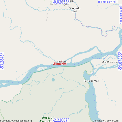
| Upper-left | -0.82036°, | -53.2848° |
| Center: | -1.52333°, | -52.58167° |
| Lower-right: | -2.22607°, | -51.87855° |
| Map W x H: | 156.3×156.3 km | = 97.1×97.1mi |
| max Lat: | 2.81972° ⇑1.6% North |
| Almeirim: | -1.52333° |
| min Lat: | ⇓98.4% South -33.69111° |
| min Long | Almeirim | max Long |
| -72.89583° | -52.58167° | -32.41083° |
| W 10.5%⇐ | ⇒89.5% E |
Elevation
Elevation of Almeirim is 6 m = 20 ft, and this is 374.9 m = 1230 ft below average elevation for this country.
| Max E: |
1603 m = 5259 ft | 98.3% |
| Avg. | 380.9 m = 1250 ft | |
| Almeirim | 6 m = 20 ft | |
Min E: |
0 m = 0 ft | 1.7% |
See also: Brazil elevation on elevation.city.
Geographical zone
Almeirim is located in South Torrid zone (between Equator and Tropic of Capricorn). Distance of Equator is 169.4 km =105.3 mi to North.| Distance of | km | miles | from Almeirim |
|---|---|---|---|
| Equator | 169.4 | 105.3 | to North |
| Tropic Capricorn | 2436.5 | 1514 | to South |
| Antarctic Circle | 7231.8 | 4493.6 | to South |
| South Pole | 9837.7 | 6112.9 | to South |


Nearby cities:
15 places around Almeirim: (largest is in red/bold)
• Afuá
287.5 km =178.6 mi,  58°
58°
• Alenquer
244.2 km =151.7 mi,  259°
259°
• Altamira
191.4 km =118.9 mi,  167°
167°
• Breves
234.2 km =145.5 mi,  94°
94°
• Gurupá
105.5 km =65.6 mi,  82°
82°
• Macapá
242 km =150.4 mi,  44°
44°
• Mazagão
212.5 km =132 mi, 42°
• Monte Alegre
174.9 km =108.7 mi,  252°
252°
• Oeiras do Pará
307.8 km =191.3 mi,  99°
99°
• Portel
201 km =124.9 mi, 103°
• Porto de Moz
45.6 km =28.3 mi,  123°
123°
• Prainha
104.5 km =64.9 mi, 252°
• Santana
225.3 km =140 mi, 43°
• Santarém
257.5 km =160 mi, 246°
• Senador José Porfírio
137.7 km =85.6 mi,  149°
149°
Sources, notices
• [Note1] Compared only with cities in Brazil existing in our database
• [Src1] Map data: © OpenStreetMap contributors (CC-BY-SA)
• [Src2] Other city data from geonames.org with taken over terms of usage.
• [Src3] Geographical zone / Annual Mean Temperature by Robert A. Rohde @ Wikipedia
