Frederico Westphalen geodata
Frederico Westphalen (Rio Grande do Sul) is a populated place; located in Brazil in America/Sao_Paulo (GMT-3) time zone. With population of 20,896 people, there are 911 cities with bigger population in this country. Compared to other cities in Brazil, 91.9% of cities are located further ↑North; 91.2% of cities are located further →East and 65.3% of cities have lower elevation than Frederico Westphalen. Note1


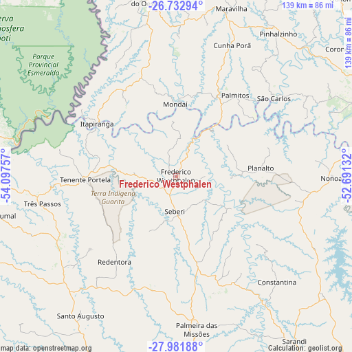
Frederico Westphalen GPS coordinates[2]
27° 21' 33.012" South, 53° 23' 39.984" West
| Map corner | latitude | longitude |
|---|---|---|
| Upper-left | -26.73294°, | -54.09757° |
| Center: | -27.35917°, | -53.39444° |
| Lower-right: | -27.98188°, | -52.69132° |
| Map W x H: | 138.9×138.9 km | = 86.3×86.3mi |
| max Lat: | 2.81972° ⇑91.9% North |
| Frederico Westphalen: | -27.35917° |
| min Lat: | ⇓8.1% South -33.69111° |
| min Long | Frederico Westp | max Long |
| -72.89583° | -53.39444° | -32.41083° |
| W 8.8%⇐ | ⇒91.2% E |
Elevation
Elevation of Frederico Westphalen is 528 m = 1732 ft, and this is 147.1 m = 483 ft above average elevation for this country.
| Max E: |
1603 m = 5259 ft | 34.7% |
| Frederico Westphalen | 528 m 1732 ft | |
| Avg. | 380.9 m = 1250 ft | |
Min E: |
0 m = 0 ft | 65.3% |
See also: Brazil elevation on elevation.city.
Geographical zone
Frederico Westphalen is located in South temperate zone (between Tropic of Capricorn and the Antarctic Circle). Distance of this Southern Tropic circle is 436.1 km =271 mi to North.| Distance of | km | miles | from Frederico Westphalen |
|---|---|---|---|
| Equator | 3042.1 | 1890.3 | to North |
| Tropic Capricorn | 436.1 | 271 | to North |
| Antarctic Circle | 4359.1 | 2708.6 | to South |
| South Pole | 6965 | 4327.8 | to South |


Nearby cities:
15 places around Frederico Westphalen: (largest is in red/bold)
• Carazinho
118.9 km =73.9 mi,  149°
149°
• Chapecó
82.1 km =51 mi,  69°
69°
• Erechim
114.5 km =71.1 mi,  105°
105°
• Giruá
119.9 km =74.5 mi,  231°
231°
• Horizontina
94.8 km =58.9 mi,  251°
251°
• Ijuí
125.3 km =77.9 mi,  204°
204°
• Palmeira das Missões
60.6 km =37.7 mi,  172°
172°
• Panambi
104.3 km =64.8 mi,  185°
185°
• Santa Rosa
121.3 km =75.4 mi,  242°
242°
• Santo Augusto
66.4 km =41.3 mi,  214°
214°
• Sarandi
79.9 km =49.6 mi,  144°
144°
• São Lourenço do Oeste
123.6 km =76.8 mi,  25°
25°
• Três Passos
54.1 km =33.6 mi,  258°
258°
• Três de Maio
95.2 km =59.2 mi, 241°
• Xanxerê
111.7 km =69.4 mi,  61°
61°
Sources, notices
• [Note1] Compared only with cities in Brazil existing in our database
• [Src1] Map data: © OpenStreetMap contributors (CC-BY-SA)
• [Src2] Other city data from geonames.org with taken over terms of usage.
• [Src3] Geographical zone / Annual Mean Temperature by Robert A. Rohde @ Wikipedia
